
Sign up to receive email notices of recent acquisitions.
Sectional Map of Sumner County Kans.
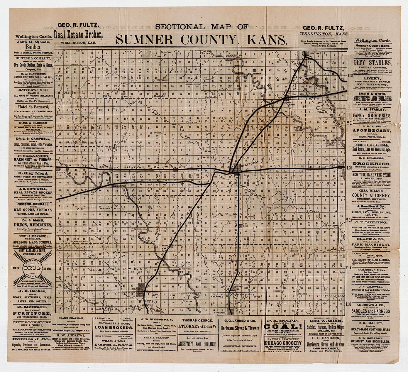
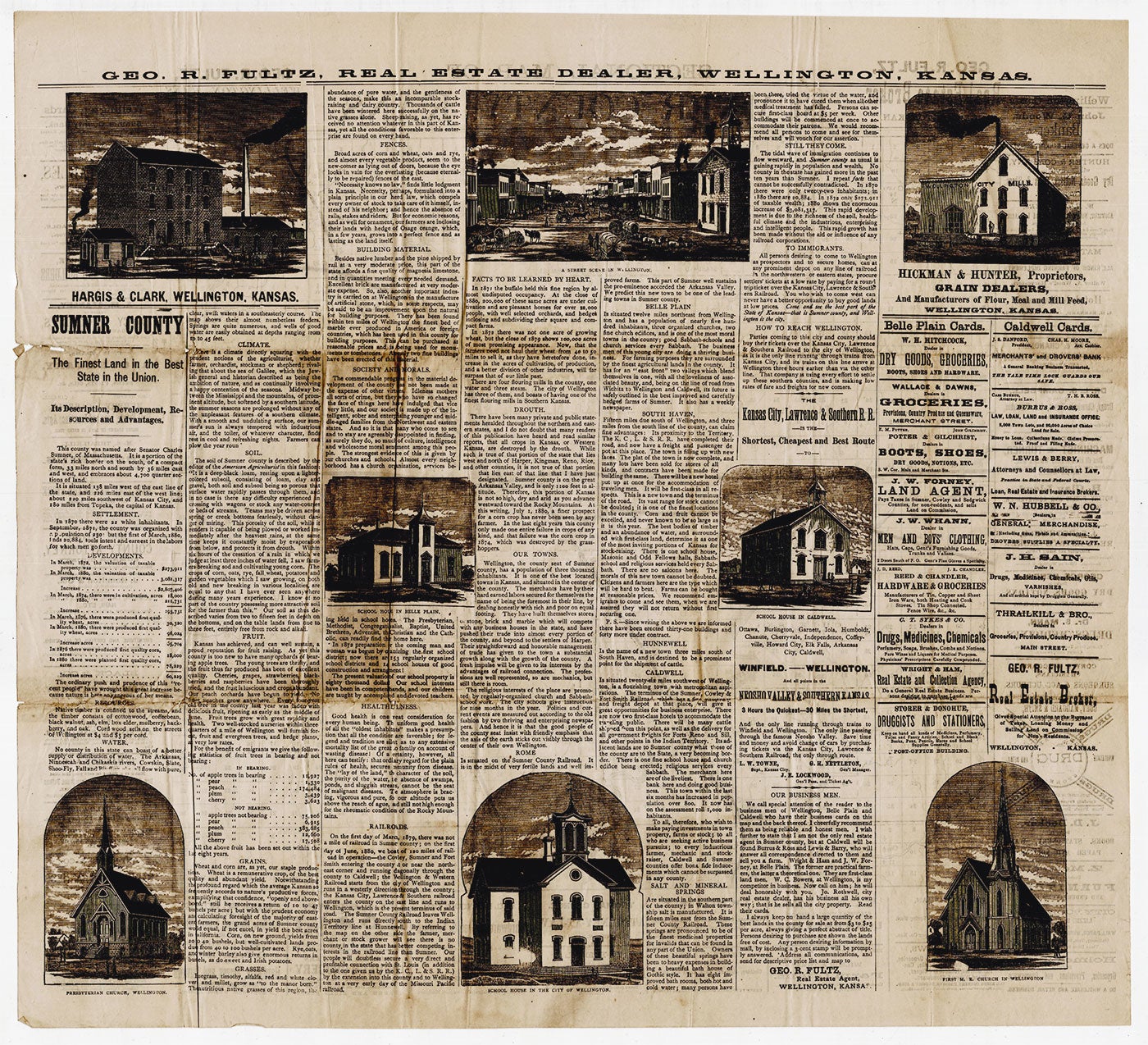
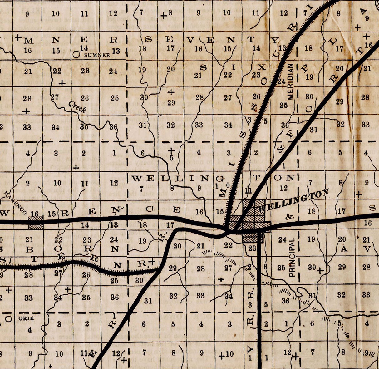
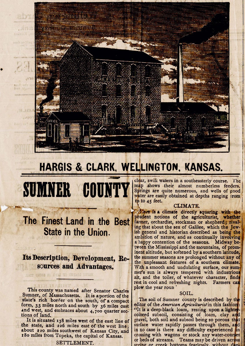
Wellington, Kansas: George R. Fultz, 1880. Broadsheet, 23.5” x 21.5”, with plat map measuring 17.25” x 16.25” and text on recto; text with illustrations on verso. A promotional broadsheet with a plat map of Sumner County, Kansas, issued by a local land agent singing the praises of what was then untilled and largely untraversed prairie, the county seat of which, Wellington, is now known as “the wheat capital of the world.” The map shows the whole of Sumner County with Wellington portrayed as a growing rail hub. As the text on the verso notes: “On the first day of March, 1879, there was not a mile of railroad in Sumner county; on the first day of June 1880, we boast 120 miles of railroad in operation.” Lines run into Wellington from all directions with a few rail spurs branching off them. Each town is afforded a blurb. These are printed alongside tables noting the area’s robust fruit crops and fertile soil. The salubrious effects of the county’s climate and potential mineral wealth are also praised. Illustrating this profusion of text are eight engravings of various landmarks around the county: three schoolhouses, two churches, two mills, and a street scene of downtown Wellington. Ads for local businesses are printed abundantly on each side. Rare. OCLC records a single copy at the University of Kansas. CONDITION: Good, old folds with some toning, one split with minimal loss.
Item #2997
Sold