

Sign up to receive email notices of recent acquisitions.
Printed Maps of the District and State of Maine 1793-1860.
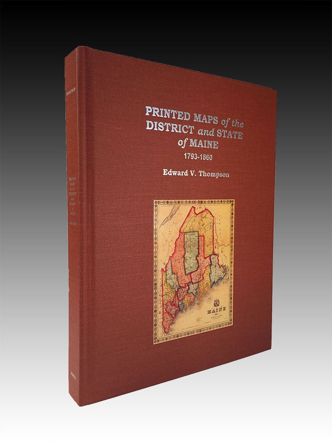
Bangor, Maine: Nimue Books & Prints, 2010. 4to, terra cotta cloth with silver title and illus,. of map on upper cover, silver lettering at spine. xii, 447, [2] pp., numerous mainly color illus. throughout. CONDITION: Fine. A comprehensive and authoritative carto-bibliography. “Professor Thompson’s Printed Maps of the District and State of Maine—the first true bibliography of maps of the state—provides a visual and historical feast for generalists and scholars alike.” —From the preface by Matthew Edney, Osher Professor in the History of Cartography, University of Southern Maine.
Item #3152
Price: $150.00
See all items in
Maps,
Rare Books
See all items by Edward V. Thompson