
Sign up to receive email notices of recent acquisitions.
Rice’s Township Map of Dakota and the Black Hills.
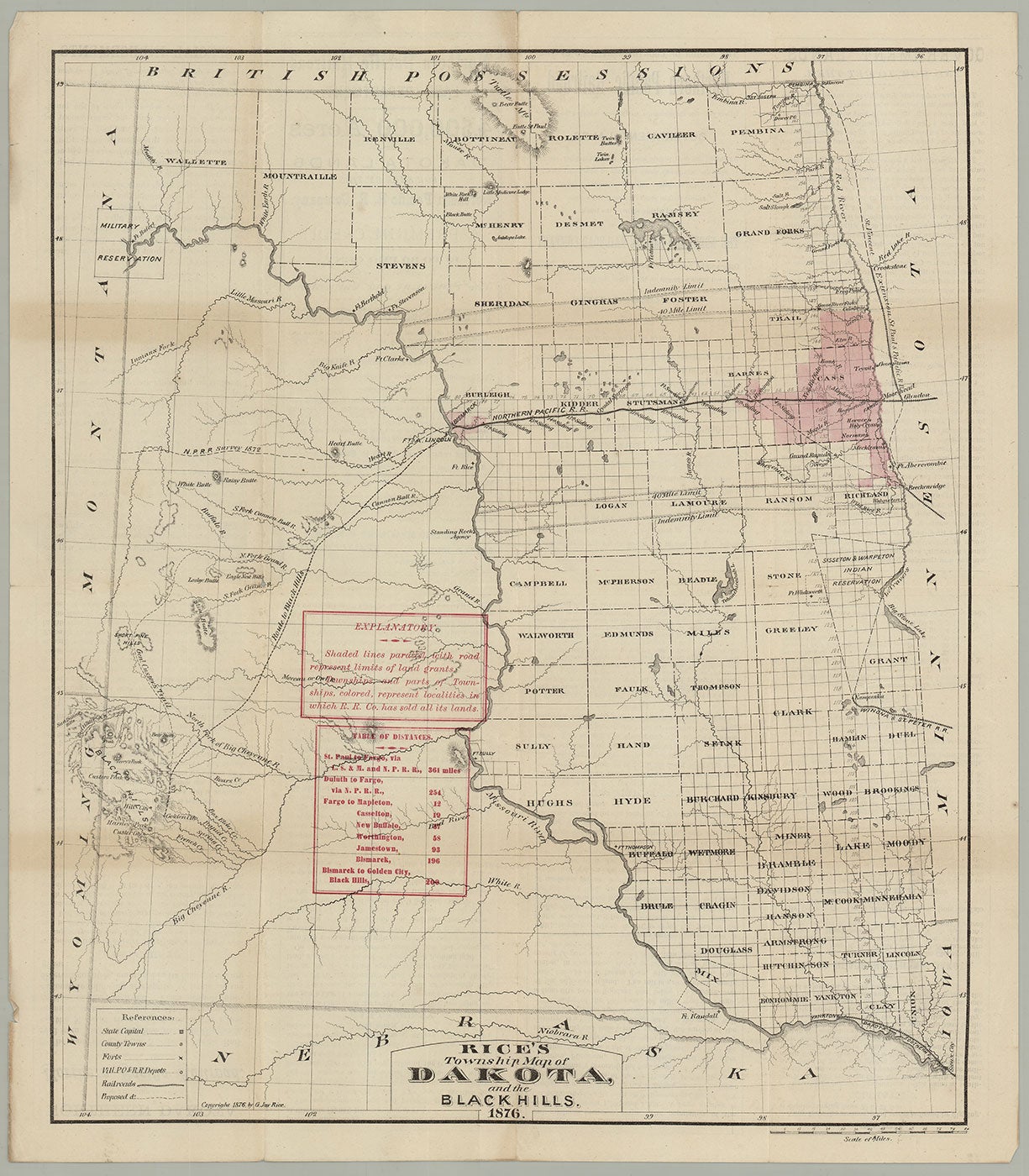
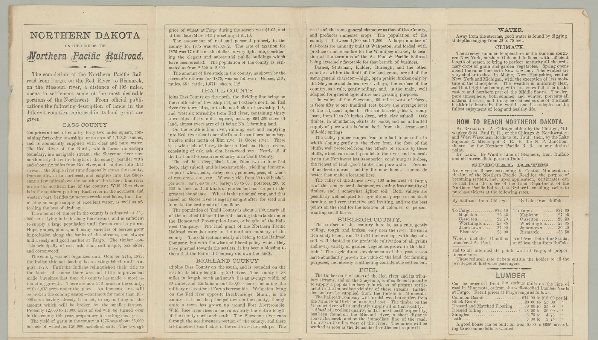
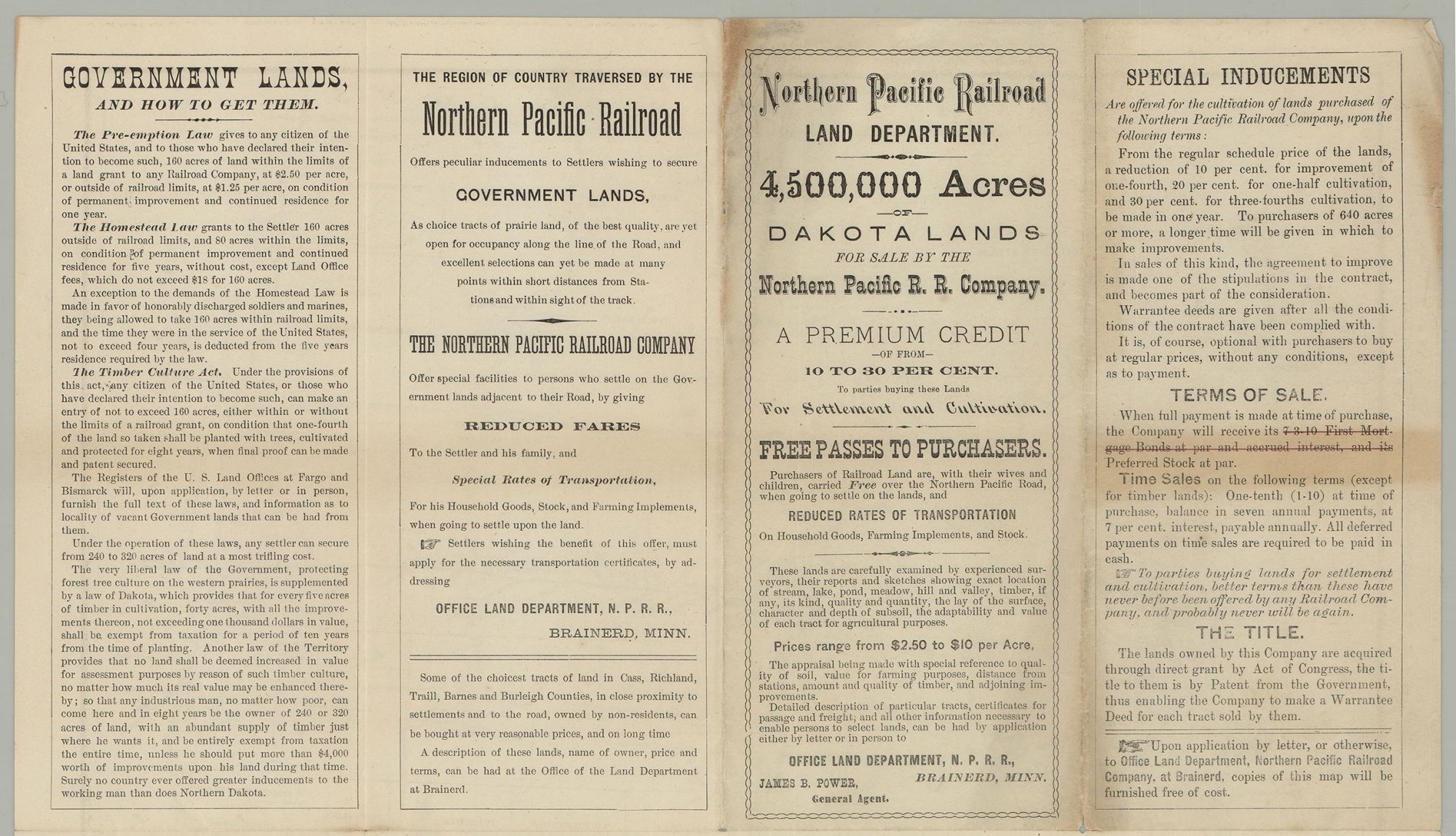
Brainerd, MN: Office Land Department, N.P.R. R., 1876. Folding lithographic brochure map printed in black and red with partial hand-coloring in pink, 15.75” x 13.5” plus margins, with text in eight panels on verso. CONDITION: Very good, minor wear and toning at folds and edges, two-inch separation at end of one fold. A scarce map of Dakota Territory published by the Northern Pacific Railroad Land Department in the eventful year of 1876, which saw the height of the Black Hills Gold Rush, the illegal founding of the infamous town of Deadwood, and the Battle of the Little Bighorn—all precipitated by Custer’s Black Hills Expedition, which discovered gold in the region. Until 1876, the Black Hills remained largely unknown territory for non-native people, being part of the Lakota Sioux reservation afforded by the 1868 Fort Laramie Treaty. However, in 1874 Colonel George Armstrong Custer would lead a famed expedition into the region, whose primary intent was searching for gold, which the party discovered on French Creek near present-day Custer, South Dakota. The discovery sparked the Black Hills Gold Rush and brought about the founding (on native American land) of the town of Deadwood in 1876 (located some 55 miles north of Custer City), which—within little time—grew to a population of about 5,000. The map offered here, apparently published just prior to the founding of Deadwood, shows Dakota Territory divided roughly in half by the diagonal course of the Missouri River, running from the northwest to the southeast. Also included are narrow portions of western Minnesota in the east and Montana and Wyoming territories in the west, as well as northern Nebraska in the south and a narrow band of “British Possessions” in the north. The land east of the Missouri is divided into counties, whereas west of the river it is entirely unorganized. The Northern Pacific Railroad extends from Fargo, on the Red River, to its terminus at Bismarck, located on the Missouri River—a distance of some 195 miles. Shaded in pink to the north and south of the Railroad are lands already sold, in the counties of Cass, Richland, Trail, Barnes, and Burleigh. Running parallel to the Northern Pacific R.R., to the north and south, are lines defining the Indemnity Limits and 40 Mile Limits of railroad lands. Appearing near the center right, along the border between Minnesota and Dakota Territory, is the Sisseton & Warpeton Indian Reservation of the Santee Dakota, forming a triangle. Of particular interest, extending from Bismarck, is “Gen.l Custer’s Trail” wending south-west through Short Pine Hills, then proceeding southward towards the mining camp of Golden City—the route of Custer’s Black Hills expedition. Also extending from Bismarck is a more direct 200-mile route to the Black Hills leading South-west to Golden City (present-day Sheridan), converging with Custer’s Trail for the final 20 miles. This more efficient trail was established following Custer’s expedition. The Black Hills region appears in the lower left, mainly in Dakota Territory, but also extending into Wyoming Territory. Golden City, Custer City (shown near the head of French Creek), and Hill City are identified, along with Harney’s Peak, Custer’s Peak, Crow Peak, and Bear Butte, as well as numerous creeks and rivers. Deadwood does not appear on the map, suggesting a publication date early in 1876. A key appears in the lower left quadrant, along with an explanation and table of distances over-printed in red. Text appearing on the verso of the map promotes 4,500,000 acres of “choice tracts of prairie land” in Dakota Territory, and is signed by James B. Power, General Agent of the Northern Pacific R.R. Land Department, Brainerd, MN. It appeals to “settlers wishing to secure Government lands,” which are “yet open for occupancy along the line of the Road,” and offers special terms to settlers, granting them reduced fares and discounted rates on transportation, household goods, stock, and farming implements. Much text is devoted to descriptions of the territories where land is being sold. As regards Cass County, it is noted that this territory was not organized until October 1873, “the Indian title not having been extinguished until August, 1873. Until the Indians relinquished their title to the lands, of course there was but little improvement made, but since that time the county has made a most astounding growth.” Other matters covered include fuel, lumber, water, and climate. G. Jay Rice was a lithographer and map publisher in St. Paul, Minnesota. Most of Rice’s maps relate to either Minnesota or the Dakotas, among them such titles as Rice’s Township & Rail Road Map of Minnesota (1872), Rice’s Sectional Map of Dakota Territory (1872), Map of Hennepin County, Minnesota (1874), and Rice’s Map of the City of St. Paul (1877). OCLC records 3 copies, at the Library of Congress, Yale University, and Wisconsin Historical Society. A scarce map of Dakota Territory, promoting lands in the region, tracing Custer’s pivotal Black Hills Expedition, and reflecting the ensuing gold rush.
Item #3213
Sold