
Sign up to receive email notices of recent acquisitions.
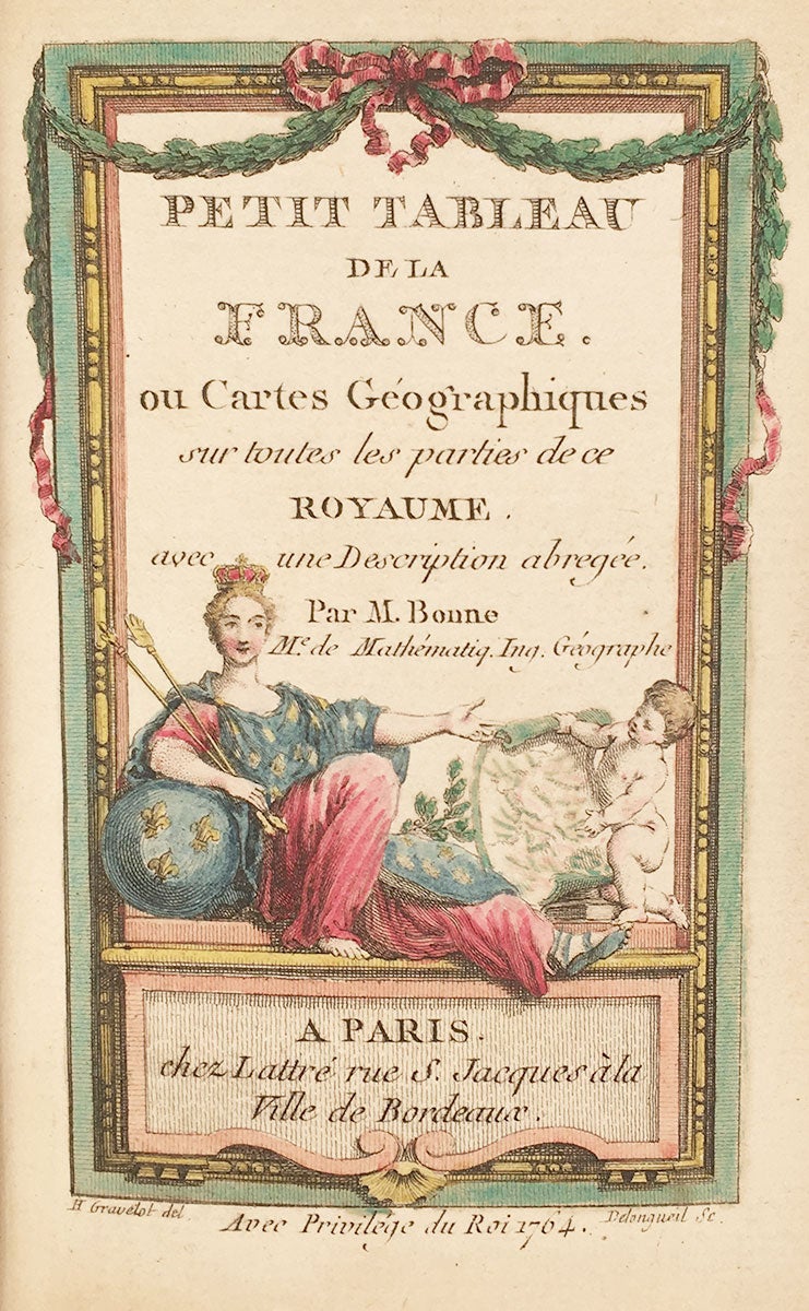
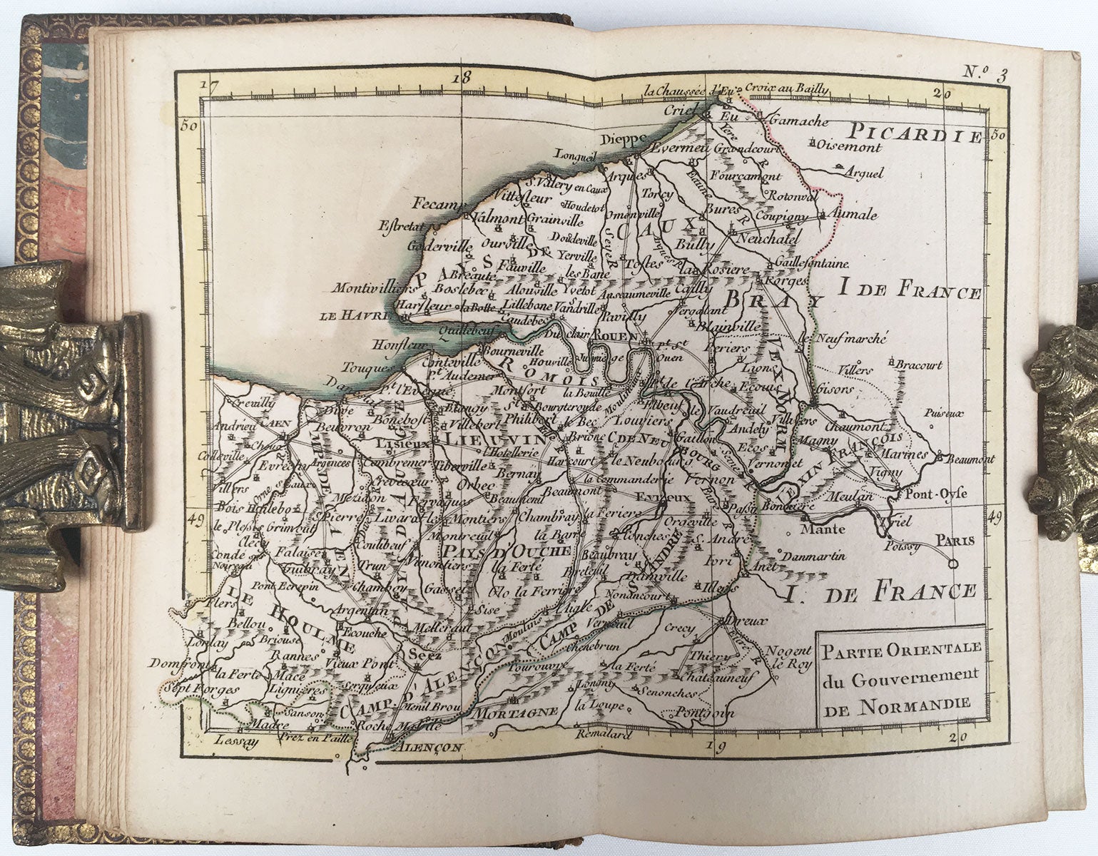
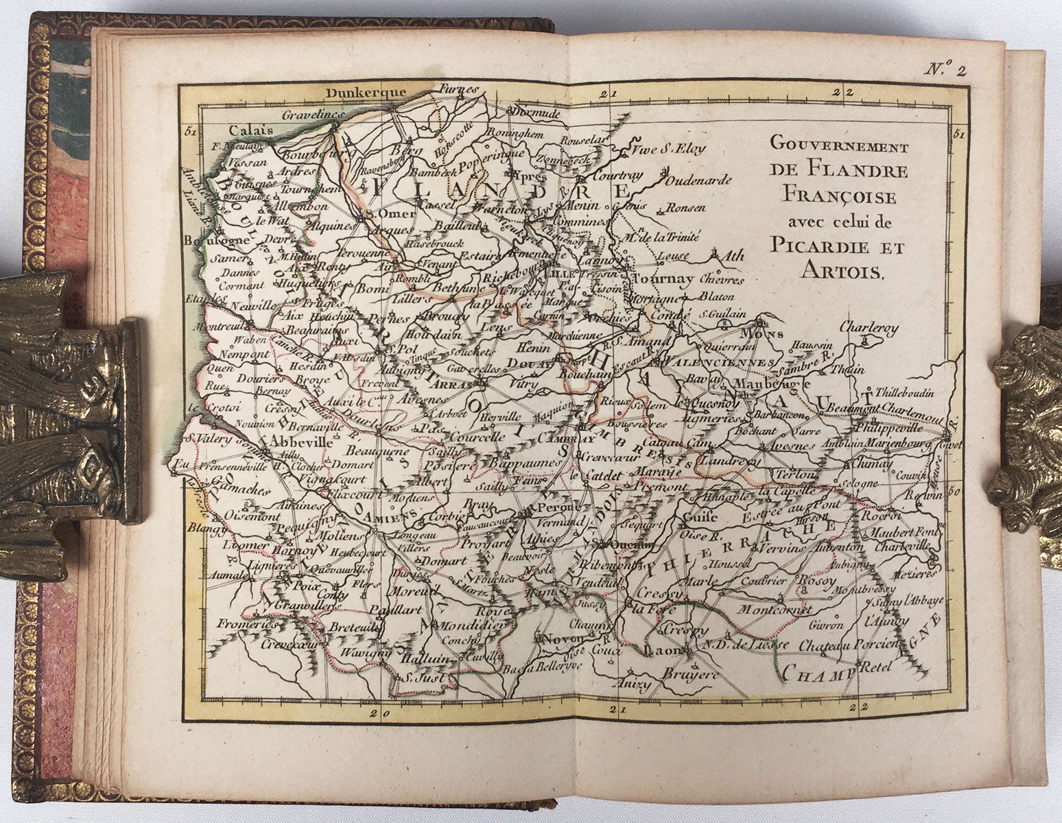
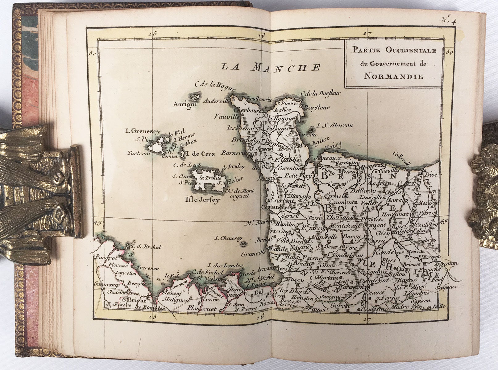
Petit Tableau de la France, ou Cartes Géographiques ou cartes geographiques sur toutes les parties de ce royaume. Avec une description abregée.
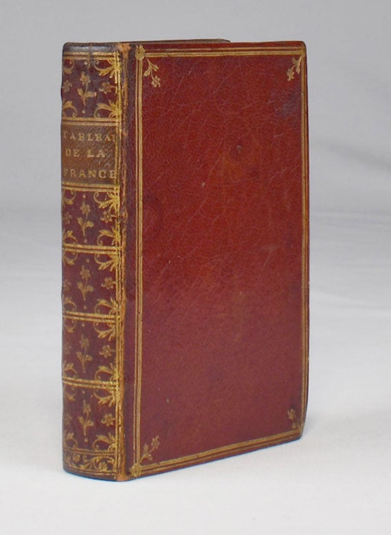
Paris: Chez Lattré, 1764. 2 parts in 1 vol. 12mo, original full gilt morocco, a.e.g. Part 1: hand-colored engraved title page, 28 hand-colored maps, 2 pp. contents; Part 2: [x] (including letterpress title-page), [213] pp. A fine copy of this charming pocket atlas of 18th century France. Rigobert Bonne (1727–1795) was an engineer, mathematician and cartographer. In 1773 he succeeded Jacques-Nicolas Bellin as royal hydrographer at the Depôt de la Marine. This is one of his earlier cartographic publications. In its original and very handsome full morocco binding. REFERENCES: Phillips, Atlases 2989. CONDITION: Very good, gently worn.
Item #3596
Sold
See all items in
Maps,
Rare Books