
Sign up to receive email notices of recent acquisitions.
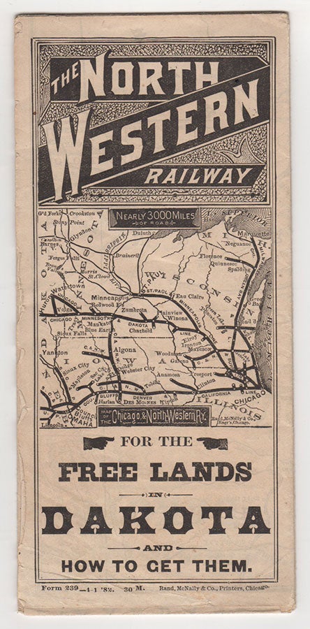
The North Western Railway for the Free Lands in Dakota and How To Get Them.
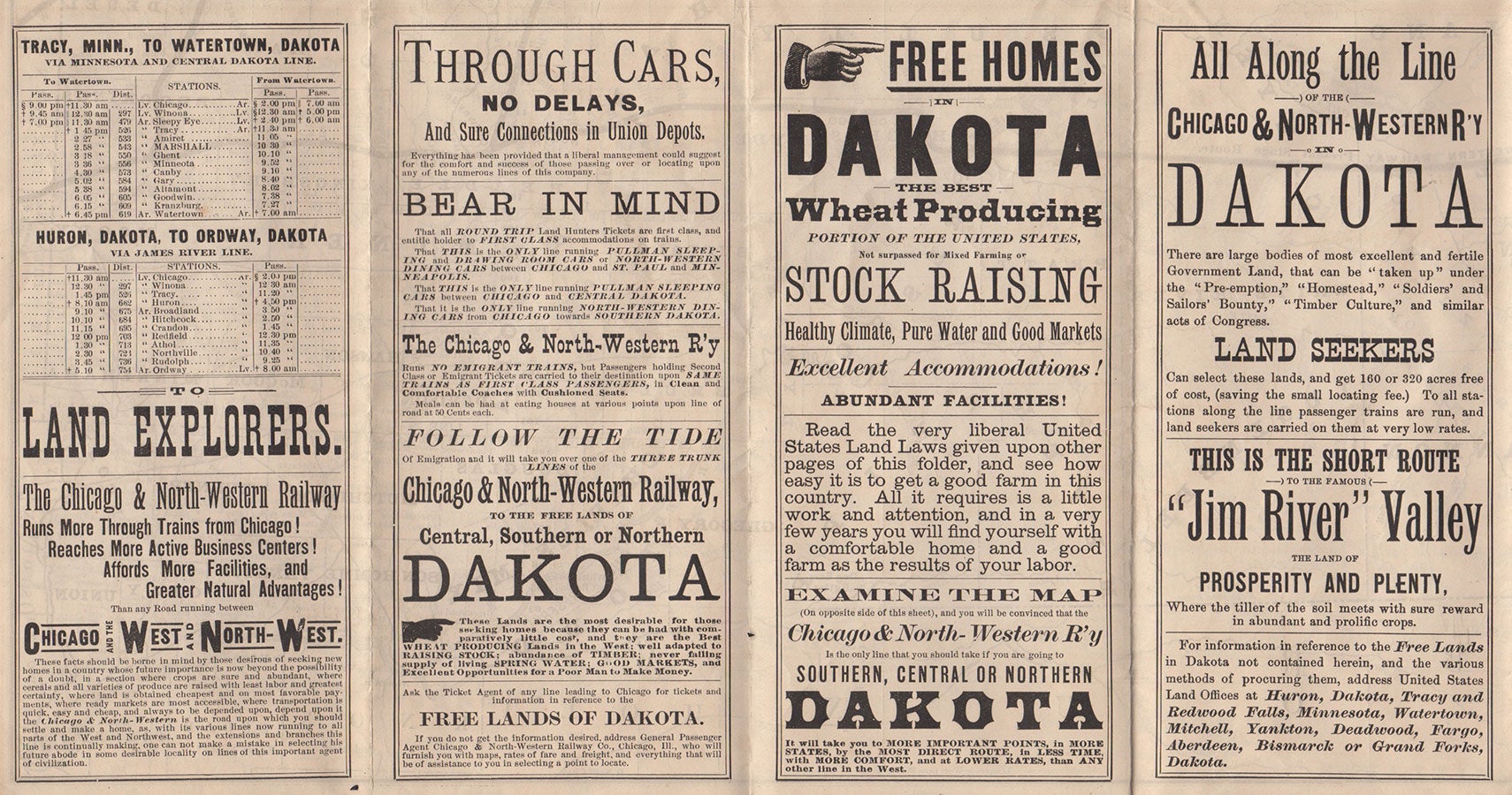
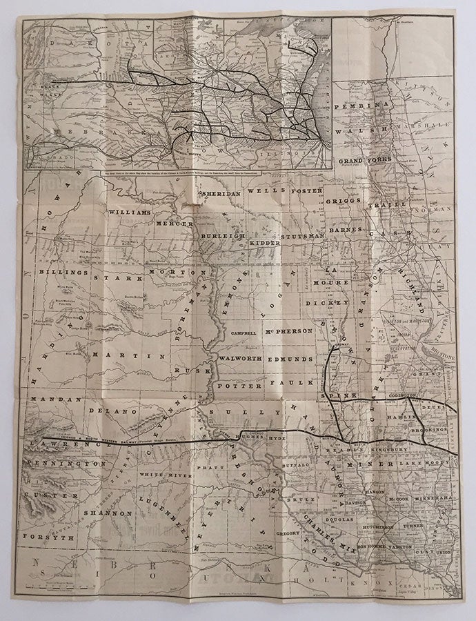
Chicago: Rand, McNally & Co., Printers, 1882. 1 sheet, 24.75” x 18.75”, folds to 8.35” x 3.75”. An railway brochure and map issued in the midst of the Great Dakota Boom. A folding brochure with 8 panels of promotional text and 5 panels of railroad time tables advertising not only its “Low Rates to Settlers and Land Hunters” but also that it “Runs More Through Trains from Chicago! Reaches More Active Business Centers! Affords More Facilities, and Greater Natural Advantages! Than any Road running between Chicago and the West and North-West.” Those panels not advertising the railway itself provide information on “Dakota,” “Government Free Lands and How to Get them,” “Homesteads,” “Pre-Emptions,” “Timber Culture,” and “Land Offices.” The map, which covers the entire verso, extends from St. Boniface, Winnipeg, in the northeast, and Sioux City, Iowa in the southeast, to Fort Robinson, Nebraska in the southwest and Beach, North Dakota in the far northwest. An inset map at the upper left is devoted to the Chicago and North-Western Railway lines from the west coast of Lake Michigan to the Black Hills. CONDITION: Very good, with a bit of separation at folds, small break in one outer panel.
Item #4135
Sold