

Sign up to receive email notices of recent acquisitions.
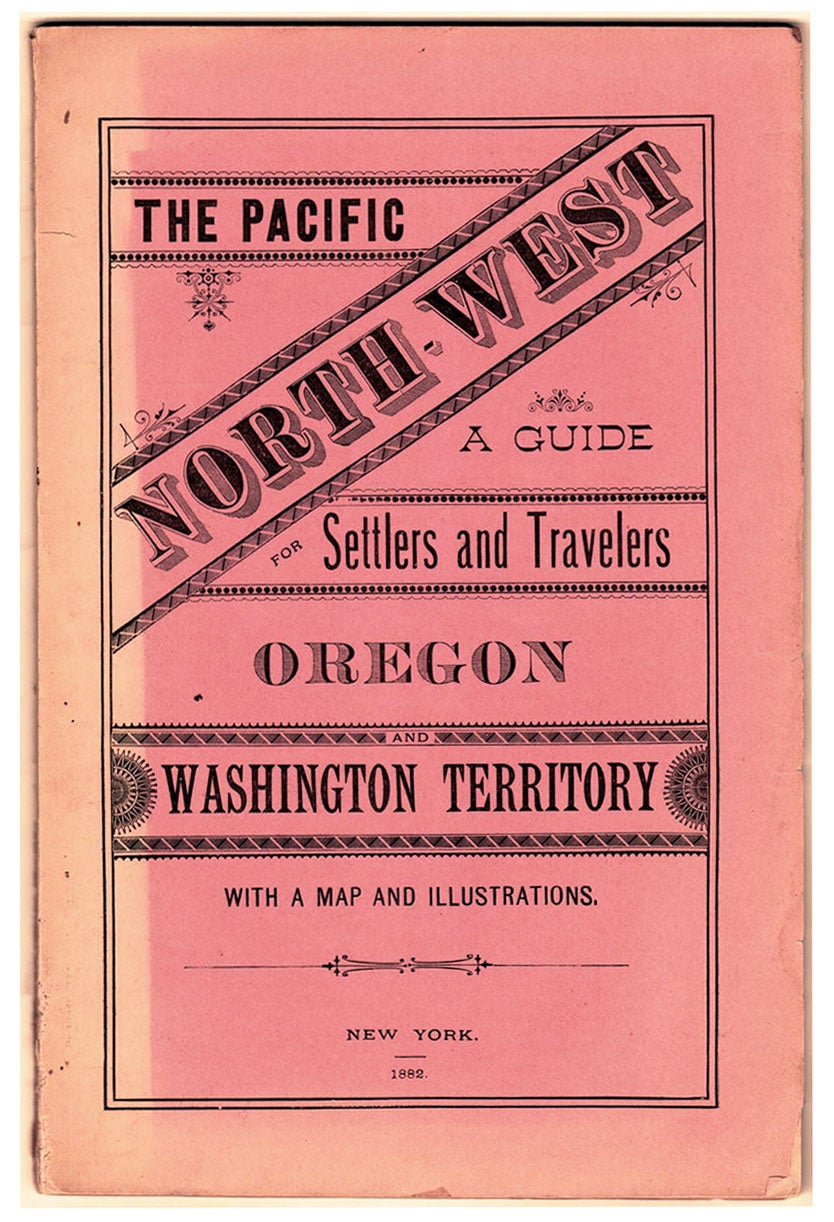
The Pacific North-West: a Guide for Settlers and Travelers; Oregon and Washington Territory. With a map and illustrations.
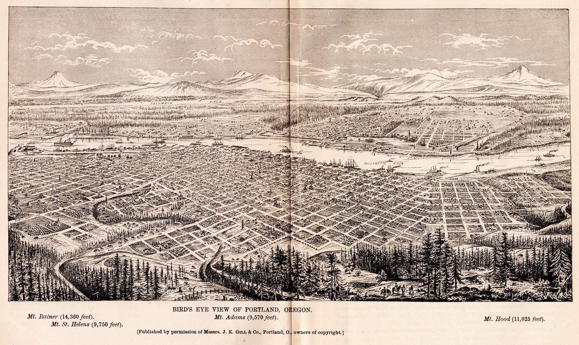
New York, 1882. 8vo (9” x 5.875”), printed pink wrappers. Frontis., 81 pp., double-page bird’s eye view, numerous full-page b&w illus., color folding map, 27.25” x 17.5” plus margins.
A promotional guide to the Pacific North-West, with a map of Oregon and Washington Territory.
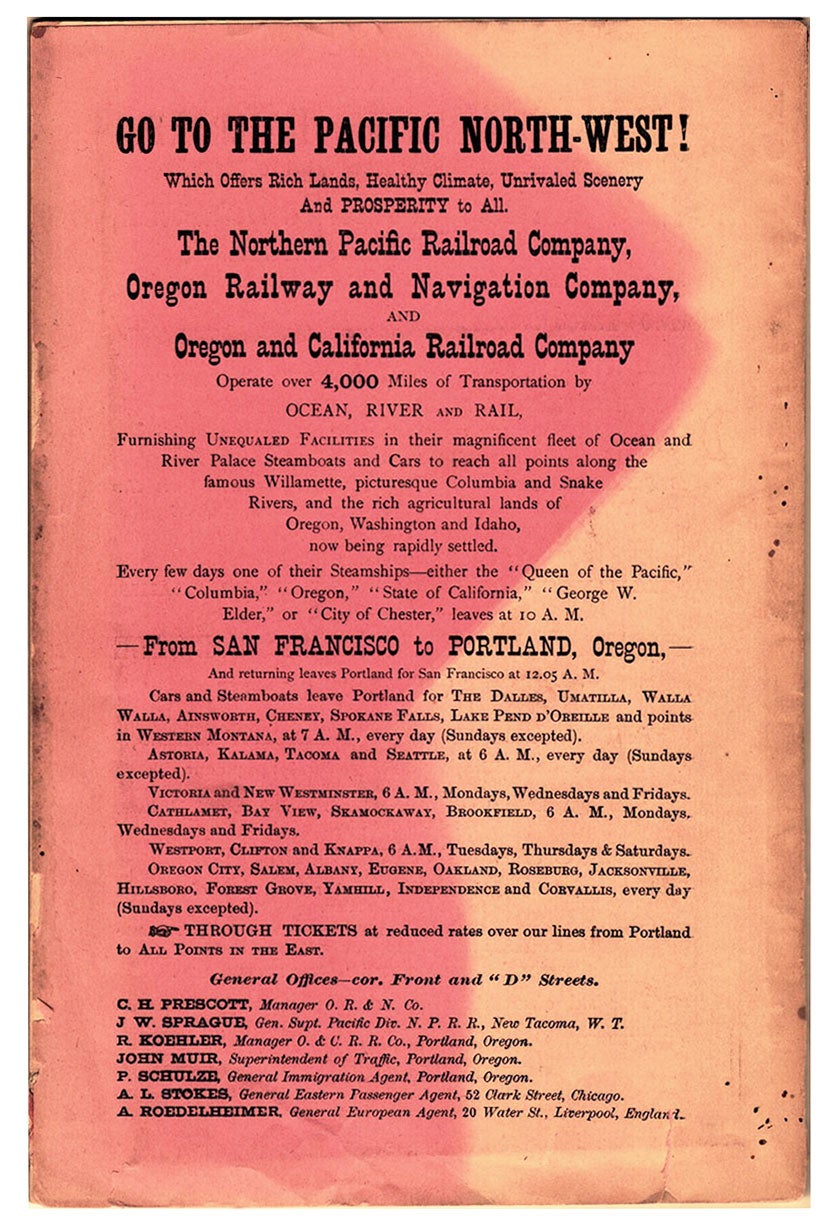
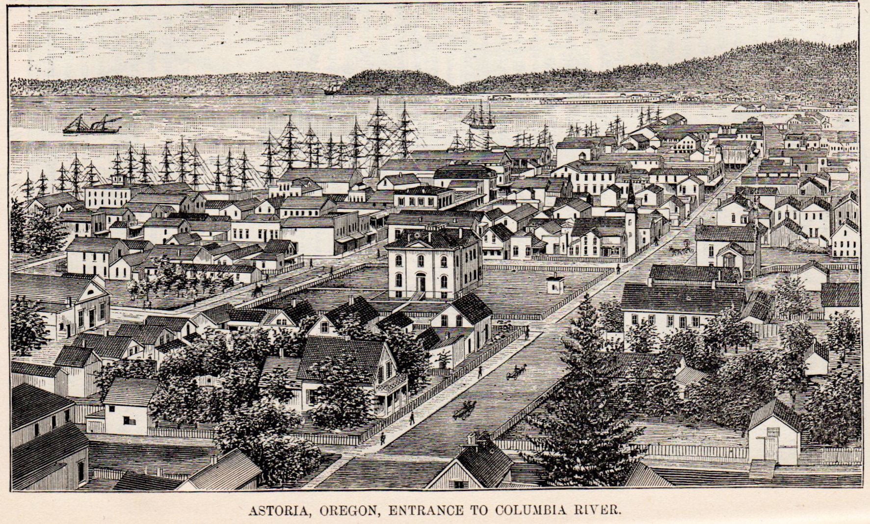
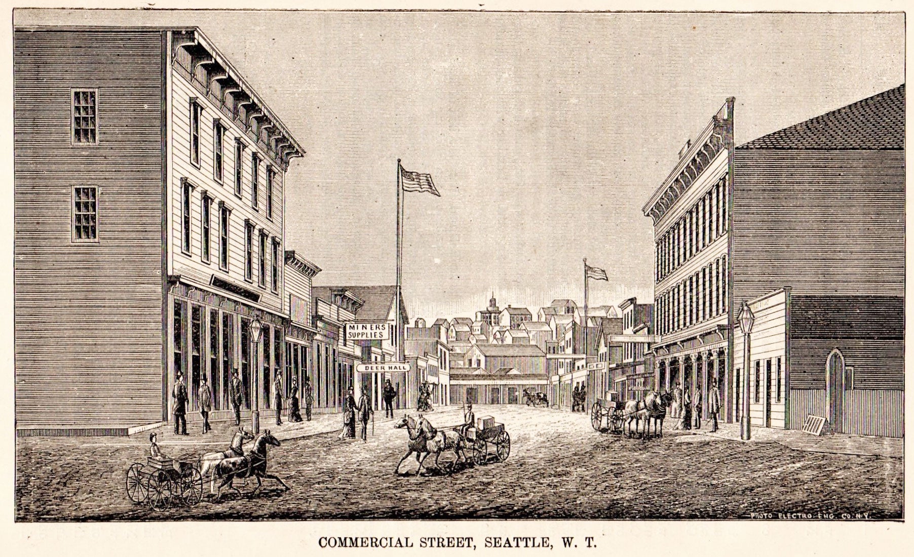
Addressed to prospective settlers and travelers alike, this guide consists of historical, geographical, and agricultural information, and discusses at-length matters such as commerce, climate, education, taxes, prices, and the regions of the Pacific North-West. Each county is described and suggestions are provided to prospective emigrants such as, “In mercantile pursuits, the opening is good for men of enterprise and capital; but the chances for mere clerks are not good.” Farm-labor wages in these parts are recorded as being between $25 and $30 per month, and lumber mills wages between $60 and $90 per month for first-class hands. It is also noted that “Chinamen work for the railroads and board themselves at $1.00 a day, and in winter take contracts for grubbing brush land.” The illustrations depict various scenes in the Pacific North-West.
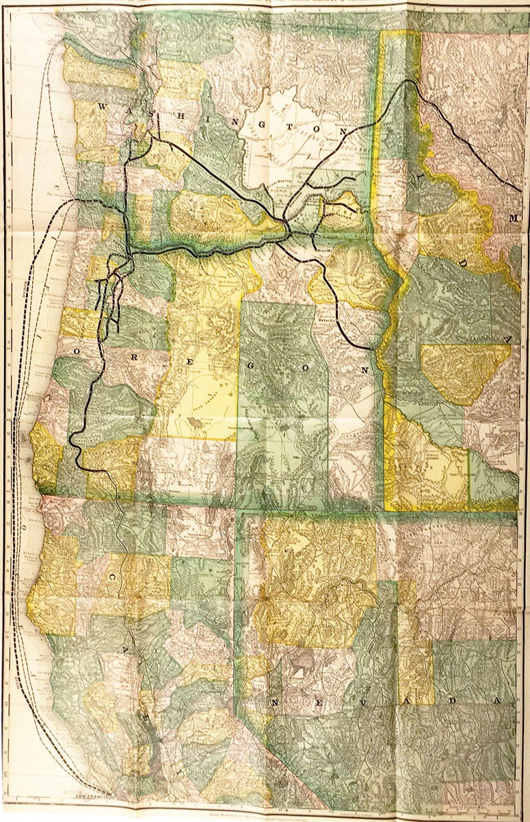
The map, printed by Rand McNally, is entitled, “Map of Oregon and Washington Territory, Issued by the Oregon Railway & Navigation company, 1882.” It extends from Vancouver Island in the north to San Francisco in the south, and from the west coast as far east as Nevada’s Elk Mountains and the Reserve for the Flathead Nation in Idaho. Depicted are the Northern Pacific Railway line, the Pacific Ocean Division of the U.S. Army, coastal bays, heads, interior mountains, lakes, and so on. Camps and forts are identified as well as fisheries, bridges, plateaus, plains, valleys, “undulating table lands,” the Nez Perces, and more. Relief is shown by hachure.
CONDITION: Good, wrappers discolored and partially detached, 1 cm closed tear on front-wrapper, chipping to back-wrapper, interior sound and clean; map with 1 cm tears at joints, 1 cm tear at top-center fold.
Item #5477
Sold