

Sign up to receive email notices of recent acquisitions.
Atlas of Plates, Illustrating the Geology of the State of Maine, Accompanying the First Report on the Geology of That State.
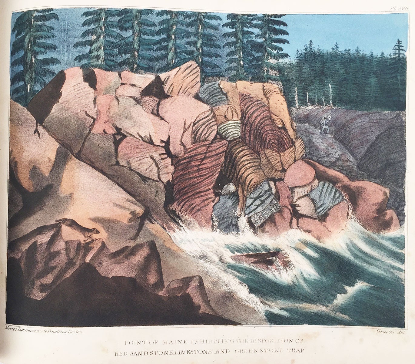
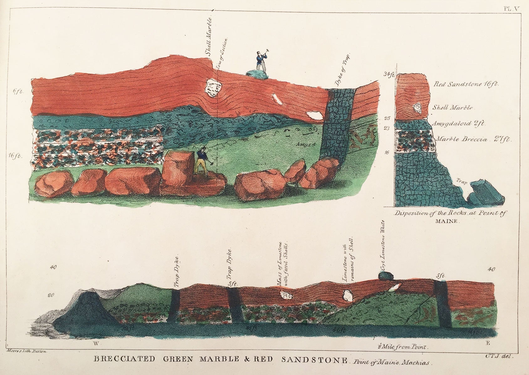
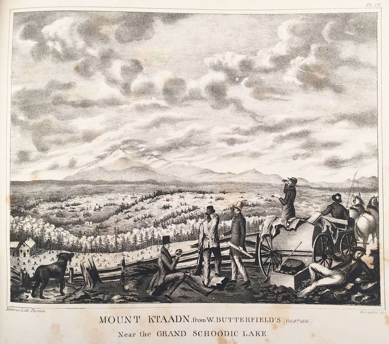
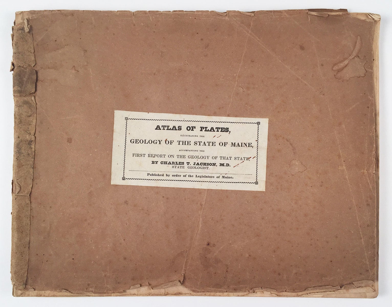
[Augusta, 1837]. Oblong 4to, original tan wrappers with title label affixed to front wrapper. 20 lithographic plates, 3 with hand-coloring. Housed in a recent custom clamshell box. The first edition of an exceptionally rare collection of lithographic views of Maine, published in connection with the first geological survey of the state. This is Sprague’s second state, with all plates numbered and three hand-colored. A noted physician and scientist, Charles T. Jackson (1805-1880) conducted a series of geological surveys in New England, serving successively as state geologist for Maine, New Hampshire and Rhode Island. His survey of Maine was the first ever undertaken, and the lithographic views published here, after drawings by survey artist Francis Graeter, are among the earliest such views of the state. Among the subjects depicted are Maine’s iconic Mount Katahdin, Quoddy Head, Mount Desert Island, Pulpit Rock in Perry, “Megunticook Mountains” in Camden, and so on. Also included are several plates of shell fossils and a cut-away view of geological strata captioned “Brecciated Green Marble & Red Sandstone Point of Maine Machias.” Graeter’s views, many of them depicting notable features of the state visited by a relative handful of travelers, provided the citizens of Maine and the United States with the most comprehensive visual representation of the state published up to that time. Offered here is an especially rare example of this important work in its original wrappers. REFERENCES: Williamson, Joseph. A Bibliography of the State of Maine, #4896: “only a few copies were printed, and it is extremely rare.”; Sprague, Laura Fecych. The Mirror of Maine, #19. CONDITION: Good, wrappers worn at edges with short tears, small losses, and minor stains; small losses of paper at head and foot of spine; foxing, spotting and occasional damp-stains to plates, affecting margins more than images.
Item #5800
Sold