
Sign up to receive email notices of recent acquisitions.
Farrar’s Illustrated Guide Book to Androscoggin Lakes.
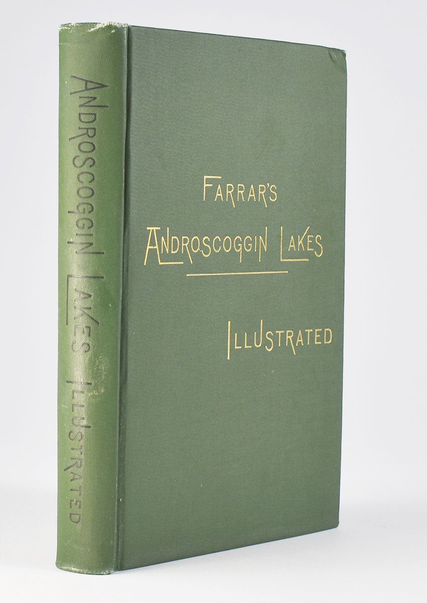
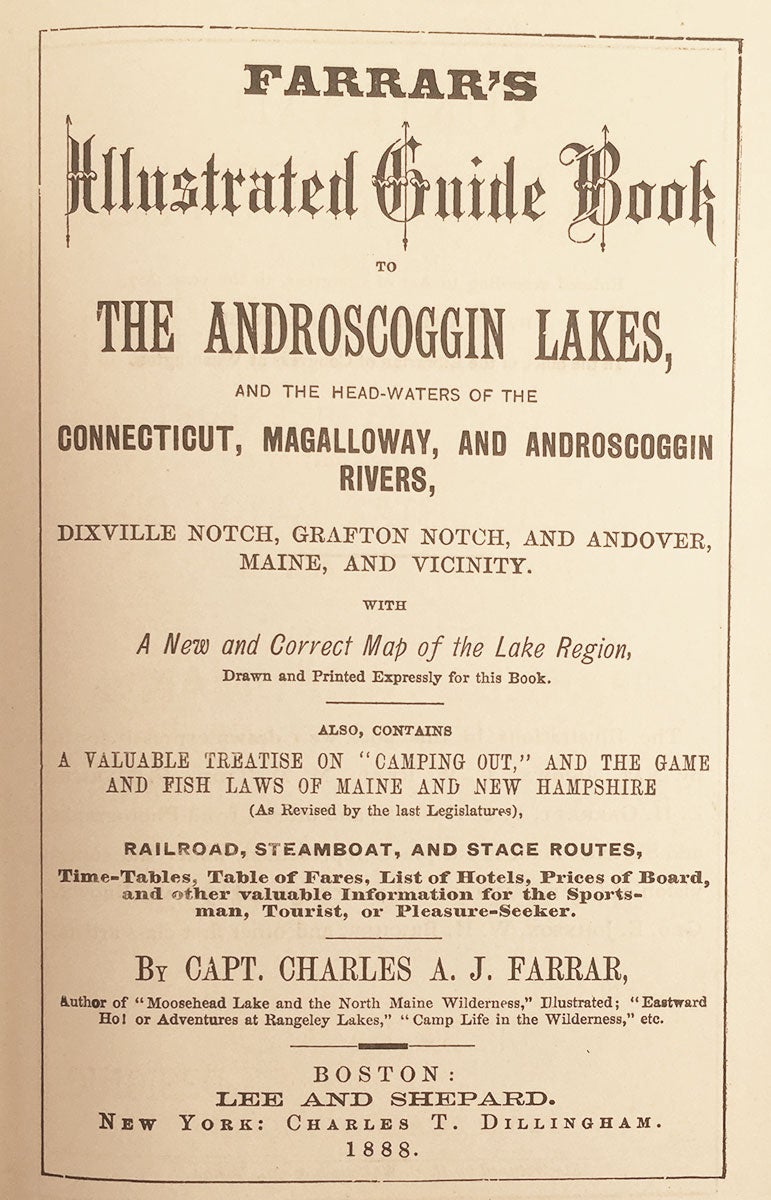
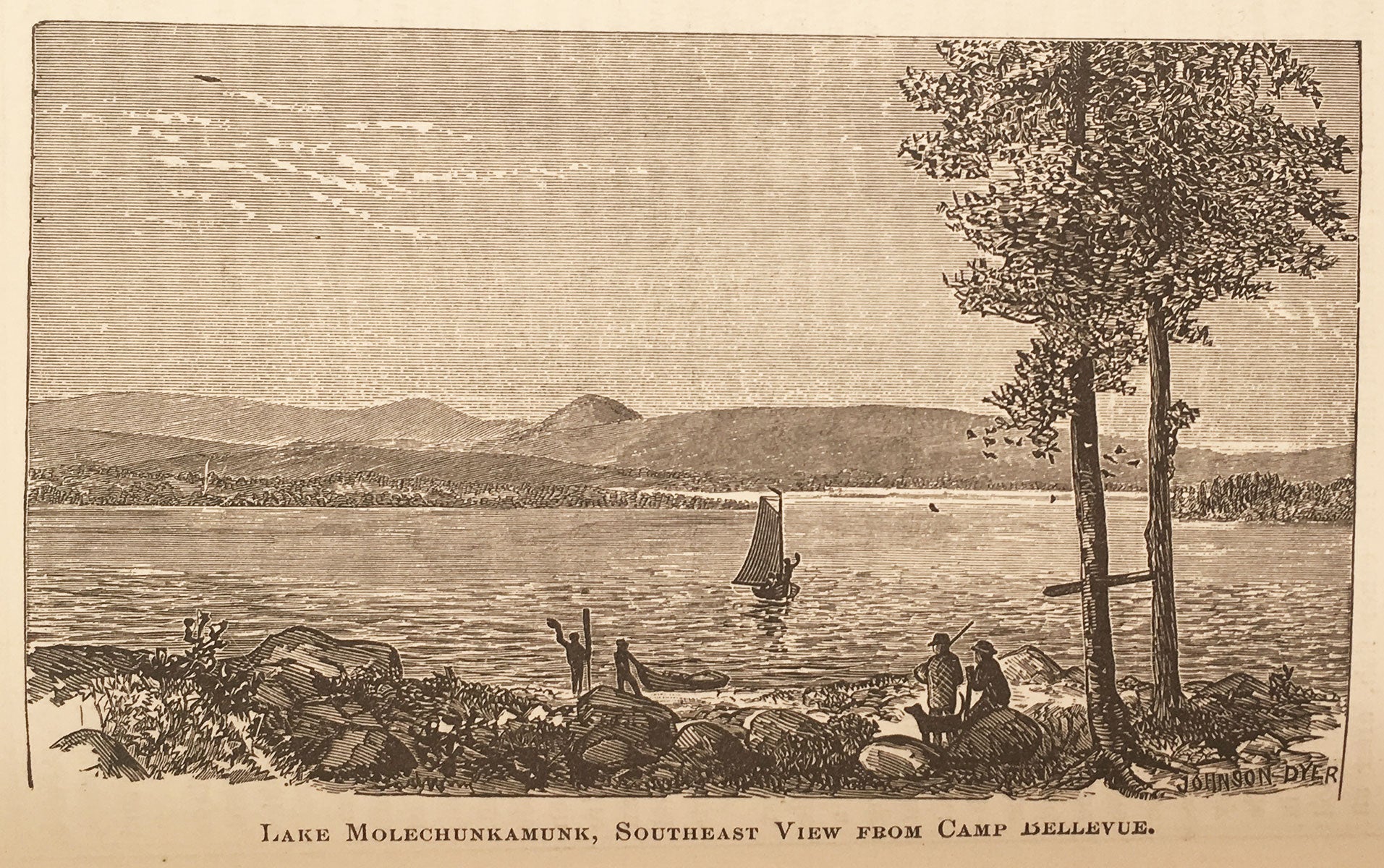
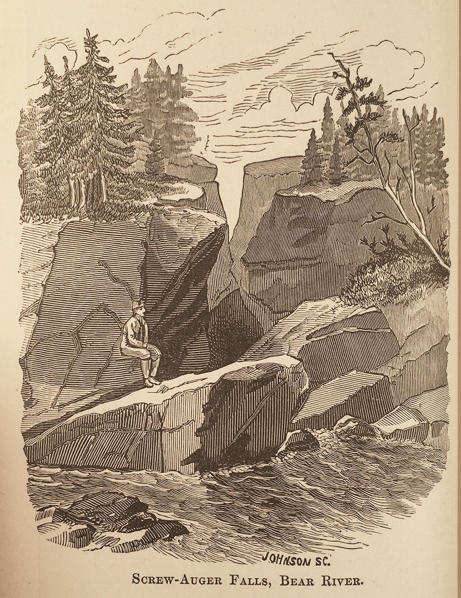
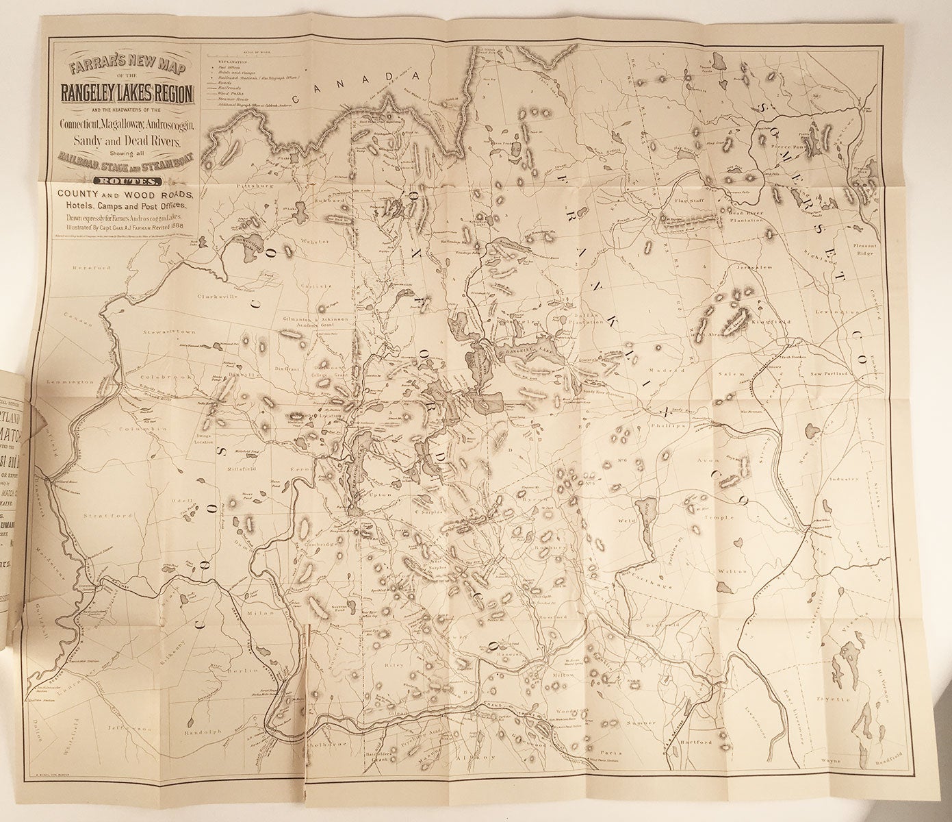
Boston: Lee and Shepard, 1888. 12mo (7.5” x 5.5”), green cloth, gilt-title at front cover, black title at spine. 344 pp. 24 pp. of ads. Folding map, 22” x 25.5”, plus margins. As described on the verso of the title page, illustrations for this book "were drawn expressively for it by Nat. Brown, C.W. Reed, M.M. Tidd, F. Myrik, E.H. Garrett, F.C. Hassam and others from Photographs and Sketches made at the places represented, under the supervision of Capt. Farrar, and were engraved by Nat. Brown, Geo. E. Johnson, W.H. Bricher, and other first-class artists." A lovely copy of the sixth edition of this title (by Williamson’s reckoning), which first appeared in 1883, being a delightful guide to the Androscoggin Lakes region, with detailed descriptions and fine illustrations. Included here are chapters on routes from Boston to the region, the “Upper Dam and Richardson Ponds,” “The lower Magalloway and Diamond Rivers,” "Catches of Trout and Landlocked Salmon," "Rates of Fare and Round Trip Excursion Tickets," etc. The large folding map at the front is entitled Farrar’s New Map of the Rangeley Lakes Region and the Headwaters of the Connecticut, Magalloway, Androscoggin, Sandy and Dead Rivers. Showing all Railroad, Stage and Steamboat Routes , County and Wood Roads, Hotels, Camps and Post Offices. Drawn Expressly for Farrar’s Androscoggin lakes. Illustrated by Capt. Chas. A. J. Farrar. Revised 1888. Farrar’s preface is entitled “Preface to the Eleventh Edition,” but as Thompson points out he seems to be including all of his guide books in this count regardless of title, beginning with his 1876 guide to Rangeley. The most prolific 19th century writer on the Maine woods, Capt. Farrar began writing his guides as a promotion for his Richardson Lake properties and commercial transportation company in 1876. In addition to his Androscoggin Lakes, Rangeley, and Moosehead Lake guide-books, he also wrote a series of camping narratives, including Camp Life in the Wilderness, From Lake to Lake, and Through the Wilds, as well as four north woods adventure stories: Eastward Ho!, Wild Woods Life, Down the West Branch, and Up the North Branch.
REFERENCES: Williamson, A Bibliography of the State of Maine, #3272; Thompson, Edward V. Important Maine Maps, Books, Prints and Ephemera. Orono, 2003, pp. 410-411.
CONDITION: Good+, bright with minimal wear, upper fore-corners bumped, contents bright and clean; map with some tears, breaks, and separation at folds, but not especially fragile and basically sound.
Item #6189
Sold