
Sign up to receive email notices of recent acquisitions.
Travels Through the States of north America, and the Provinces of Upper and Lower Canada, During the Years 1795, 1796, and 1797.
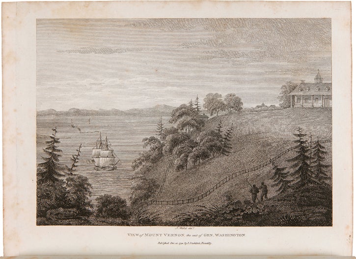
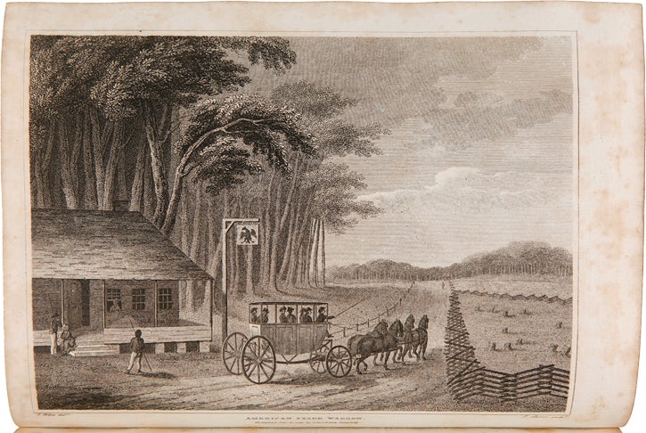
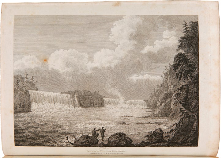
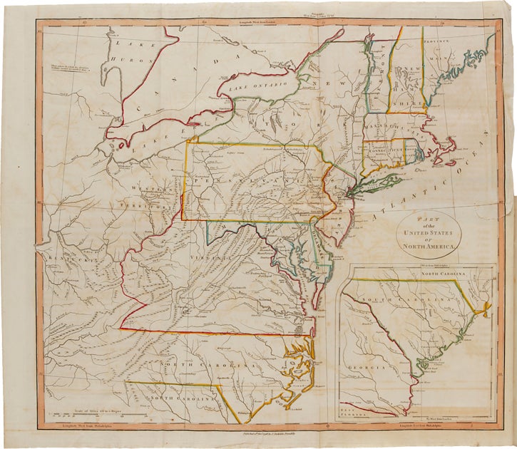
London: Printed for John Stockdale, 1799. 4to, contemporary tree calf, spine gilt in compartments with green morocco gilt label. xxiv, 464 pp., plus sixteen maps and plates (one map folding and hand-colored), including frontispiece. Weld, an Irishman, arrived in Philadelphia in late 1795 at the age of nineteen. His observations during two years of travels through eastern North America and Canada, told through a series of letters, comprise one of the most popular narratives of the day. Story wrote that "his account of Canada (letters 21-25) is a clear and sustained description of an area and a way of life that pleased him more than had the United States." Weld made one trip south as far as Virginia, as well as crossing Pennsylvania and New York. He said that he left the United States "without a sigh, and without entertaining the slightest wish to revisit it." The engraved plates are after sketches by the author. The map, with its borders and those of the states colored by hand, shows the east coast of America south through North Carolina, with an inset map of South Carolina, and west through the Great Lakes region. REFERENCES: Clark II:132. ESTC T110539. Gagnon I:3701. Howes W235. Lande 890. JCB II:4062. Sabin 192541. Scheidley 170. TPL 708. Reese, Federal Hundred 78. CONDITION: Very good, wear to extremities and edges of boards, joints just starting (but still strong), one-inch closed tear to right margin of folding map (no loss of text), a few fingerprints, occasional light foxing (heavier in margins of plates).
Item #6972
Price: $4,000.00