
Sign up to receive email notices of recent acquisitions.
Bancroft’s Map of California and Nevada.
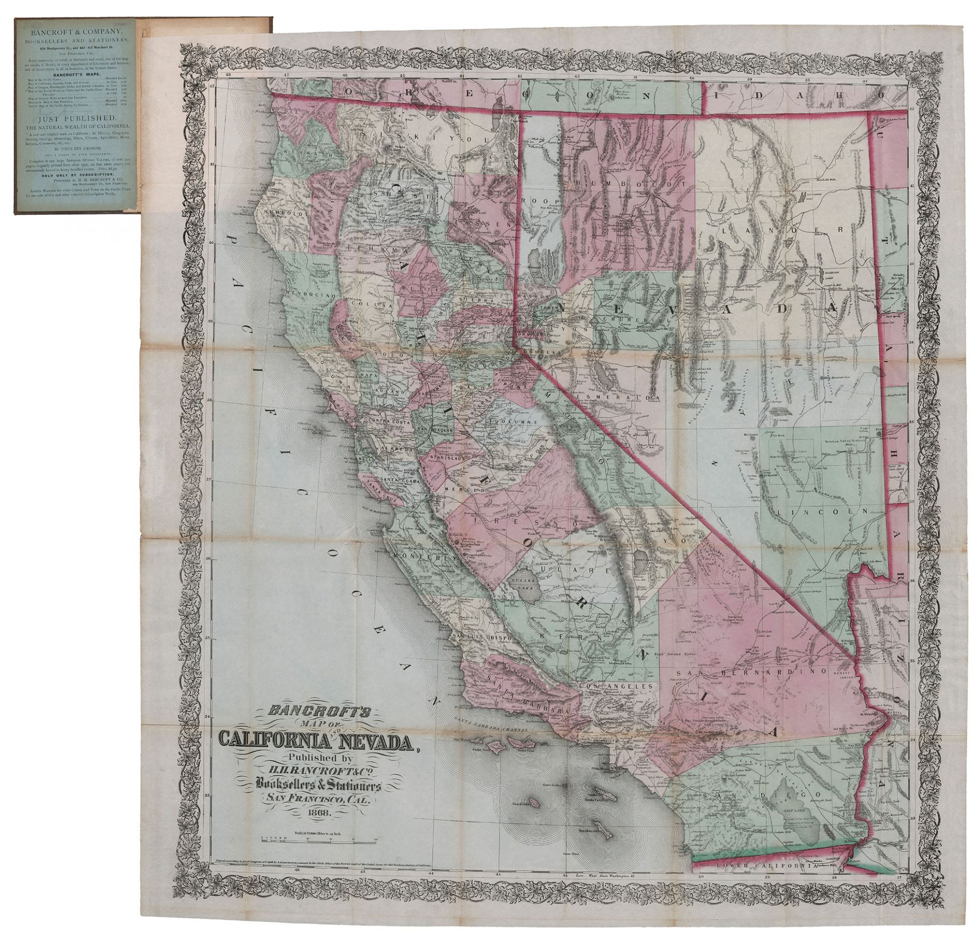
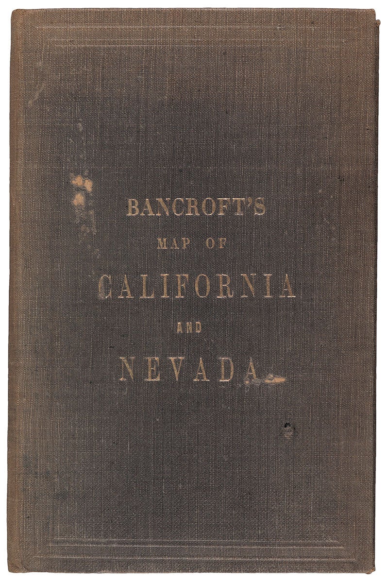
San Francisco: H. H. Bancroft & Co., 1868. Hand-colored lithograph, 30” x 27” plus margins, folding into brown cloth covers (7” x 4.75”) stamped in gold. The second edition of this important 1860s map of California and Nevada. First published in 1864, Bancroft’s detailed and striking pocket map of California and Nevada constitutes one of the best maps of Western America published west of the Mississippi during this period. Extracted from Bancroft’s Map of the Pacific States, which was first published 1863, the later issues were published in 1868, 1871; 1873; 1876; and 1878—Bancroft updating the maps to show railroad expansion as well as topographical changes. The map spans from sections of Idaho and Oregon in the north to San Diego in the south, with the Pacific coast lying at the west and sections of Arizona and Utah in the east. Shown are roads, towns, rivers, mountains, cities, mines, Indian villages, springs, lakes, military camps and forts, islands, and railway stations—some of these details rarely being seen on maps of this period. Each state is divided into counties—reflected in the hand-coloring—and the various railroads, completed, under construction, and projected are depicted. Relief is shown by hachure. A publisher’s ad on the front paste-down includes a short list of maps available from Bancroft & Co. In 1864, Bancroft also issued the northern portion of the Map of the Pacific States, which included Washington, Oregon, and Idaho, Montana. Wheat notes this map as well as the larger map of the Pacific State were instrumental in establishing Bancroft’s firm as the greatest map publisher of the Pacific Coast. Albert L. Bancroft (1841–1914) was the younger brother of Hubert H. Bancroft (1832–1918) who moved to the booming city of San Francisco in 1852 to set up a West Coast office for his brother-in-law, who operated a bookstore in Buffalo, New York. Establishing H. H. Bancroft & Co. in 1856, Hubert found success and entered the world of publishing as well. In 1859, Albert joined the firm. After Hubert retired around 1870 to become an author, ethnologist and historian, the company became A. L. Bancroft & Co. At the time, the company's bookstore and lithographic office was the largest of its kind on the Pacific coast, producing maps, city views, book illustrations, advertising posters, can and box labels, and more. In 1886, A. L. Bancroft & Co. suffered a fire, and in 1897 the firm was purchased by Whitaker & Ray Co. The Bancroft Library at UC Berkeley takes its name from Hubert, whose 60,000-volume book collection was purchased by the University of California in 1905. REFERENCES: Wheat 1179; Rumsey 3120.002 CONDITION: Map detached from covers, some toning and several small separations along folds, but overall clean and bright; some staining to case and a few small damages to the cloth a front-cover.
Item #4234
Price: $3,500.00
Add to Wish List