
Sign up to receive email notices of recent acquisitions.
Map of Lake Hopatcong. Morris and Sussex Counties. New Jersey.
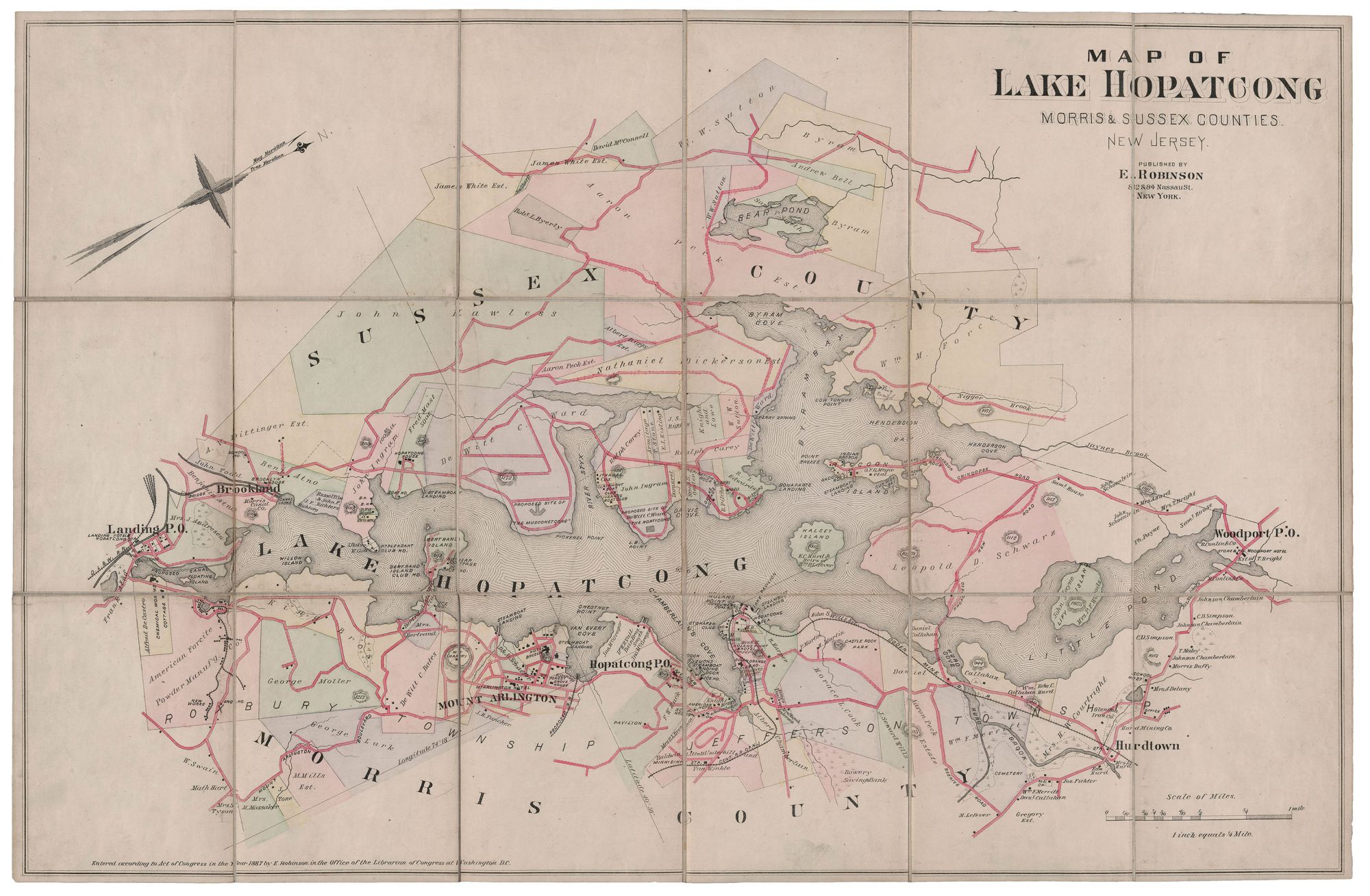
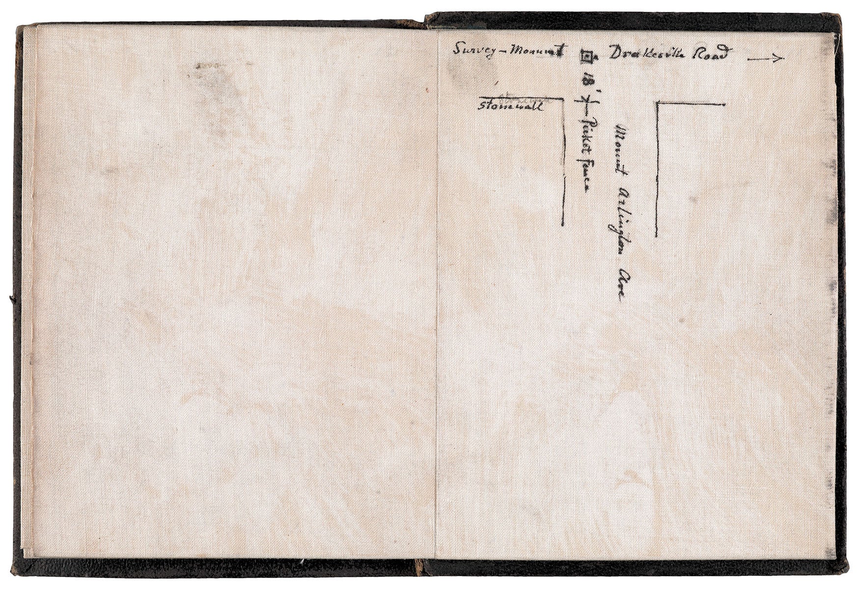
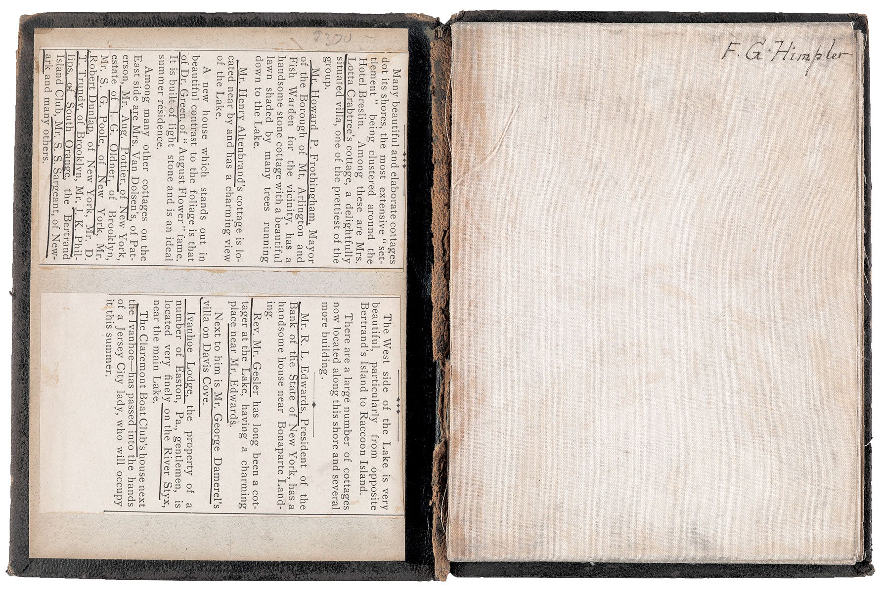
New York: E. Robinson, 82 & 84 Nassau St., 1887. Hand-colored lithograph, 18.25” x 28.5” plus margins, dissected and mounted on linen, folding into black leather 12mo covers (6.75” x 5.25”). Early ownership inscription of “F. G.Himpler” and small manuscript map of portion of street on verso of two panels. Printed text from unidentified source regarding Lake Hopatacong cottagers affixed to front paste-down. CONDITION: Spine perished, front cover detached, map good, with some separation along folds. A scarce and appealing map of Lake Hopatcong showing the development, both current and proposed, around this vacation destination for New York city-dwellers. Depicting the lake along the border between Morris and Sussex Counties, this detailed, multi-colored map shows hotels, steamboat landings, elevations of hills, roads, coves, canals, marshes, municipal buildings, brooks, parks, and numerous privately-owned lots, many with dwellings, along a forty-five mile shoreline. The names of numerous landowners and black squares indicating buildings pepper the map. Various industrial operations are shown here as well, including American Forcite Powder Manufacturing, the Glendon Iron Company, the Hurd Mining Company and the “chemical works.” The Delaware, Lackawanna, Central Railroad of New Jersey (DL&W), the Western R.R. and a proposed railroad connected to Van Every Cove are shown along the shoreline. Also shown on the east side of the lake is the Ogden Mine R.R., built in 1866 to haul iron ore from the mines on New Jersey’s Sparta Mountain. Ore was carried to Nolan’s Point on Lake Hopatcong, where it was then loaded on barges and taken across the lake by Ogden Mine R.R.’s own steamship to the Morris Canal. While New Jersey iron mines declined by the 1890s, substantial passenger traffic to the lake led to the redesigning of Nolan’s Point to accommodate service via the DL&W. The station at Nolan’s Point was rebuilt by 1888 and saw some 50,000 visitors each summer during the 1890s. While the precise origin of the name Hopatcong is unknown, it is most commonly attributed to the Lenape Indian word for “stone water” (or “stone over water”). In the 1850s, the Morris & Essex R.R. became the first railroad to reach the southern end of the lake. However, it wasn’t until the early 1880s—when passenger rail service came to the lake via the New Jersey Central R.R.—that it blossomed into a popular summer resort. Soon hotels were built to support the burgeoning tourism, such as the luxurious Breslin Hotel, and various amusements sprang up including the Bertrand Island Amusement Park. The lake flourished into the 1920s and many famous people purchased property there—including Vaudeville stars Joe Cook and Owen McGiveney, actress Lotta Crabtree, inventor and chemist Hudson Maxim, and others. During the Depression, tourism declined across the nation, and permanent, suburban residences were increasingly constructed around the lake. No records in OCLC. REFERENCES: Koppenhaver, Bob. “Lake Hopatcong Ye Olde Lake” at Skylands Visitor online.
Item #5513
Price: $750.00