
Sign up to receive email notices of recent acquisitions.
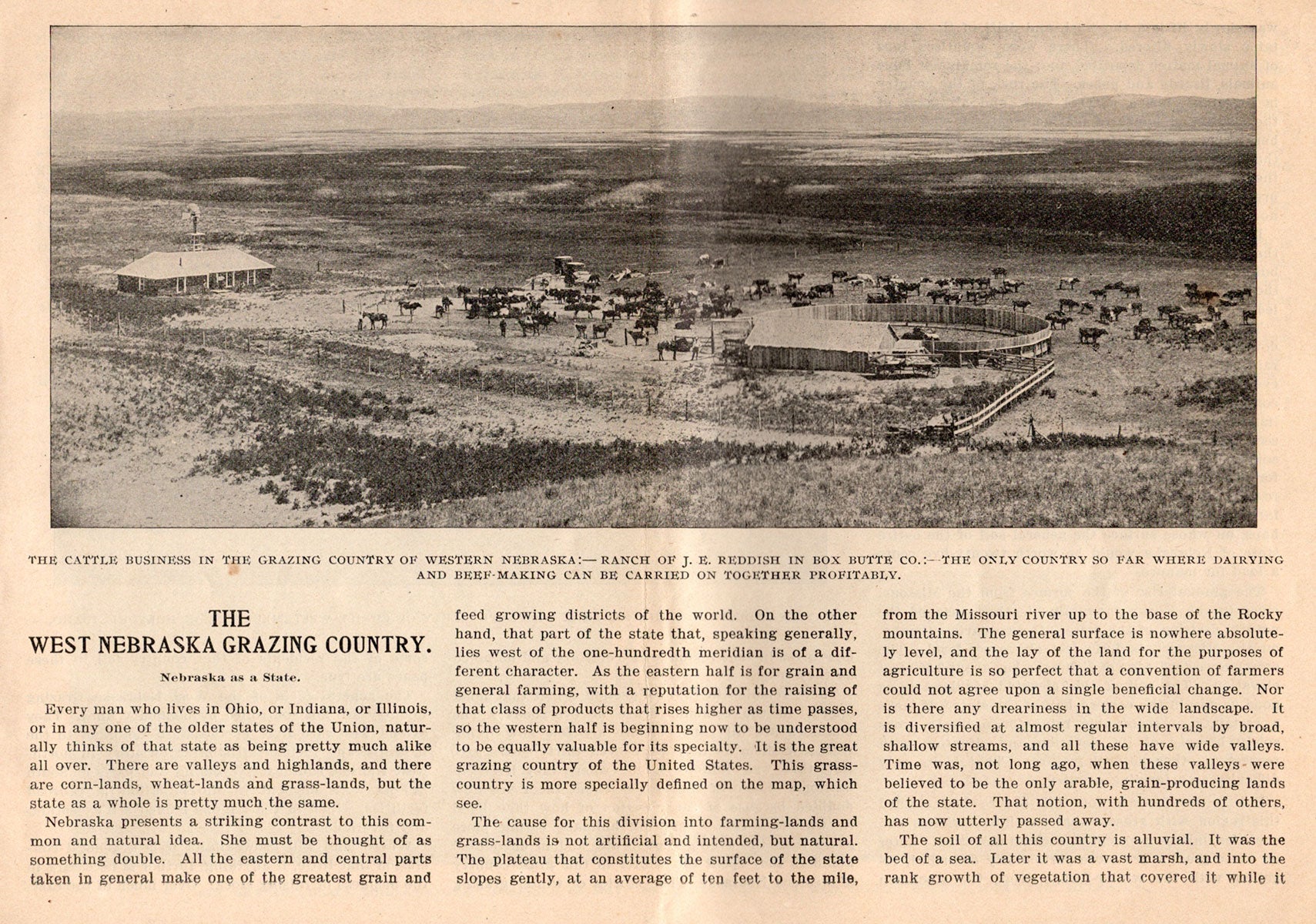
The West Nebraska Grazing Country.
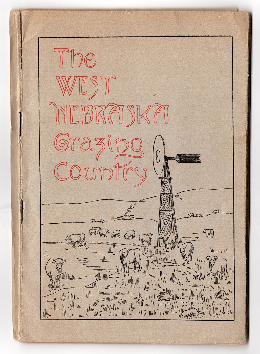
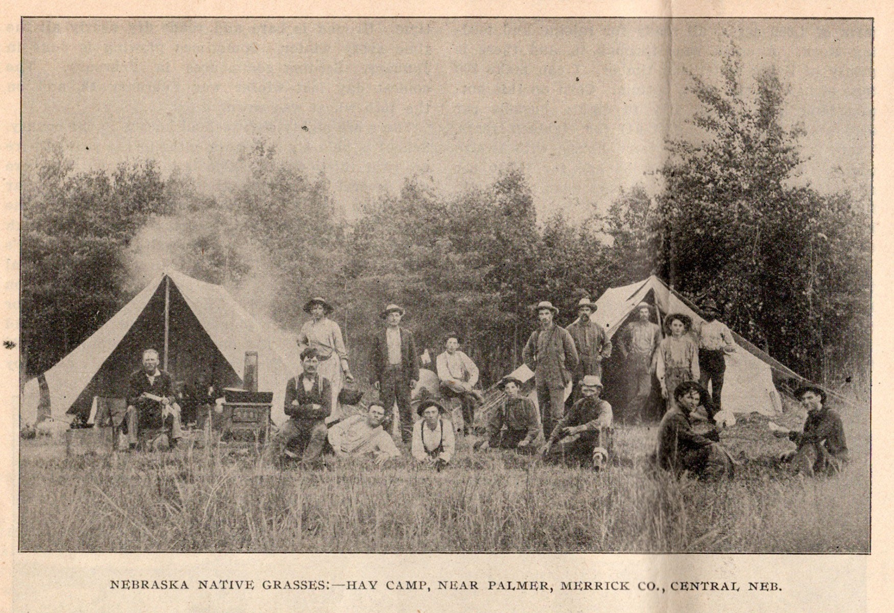
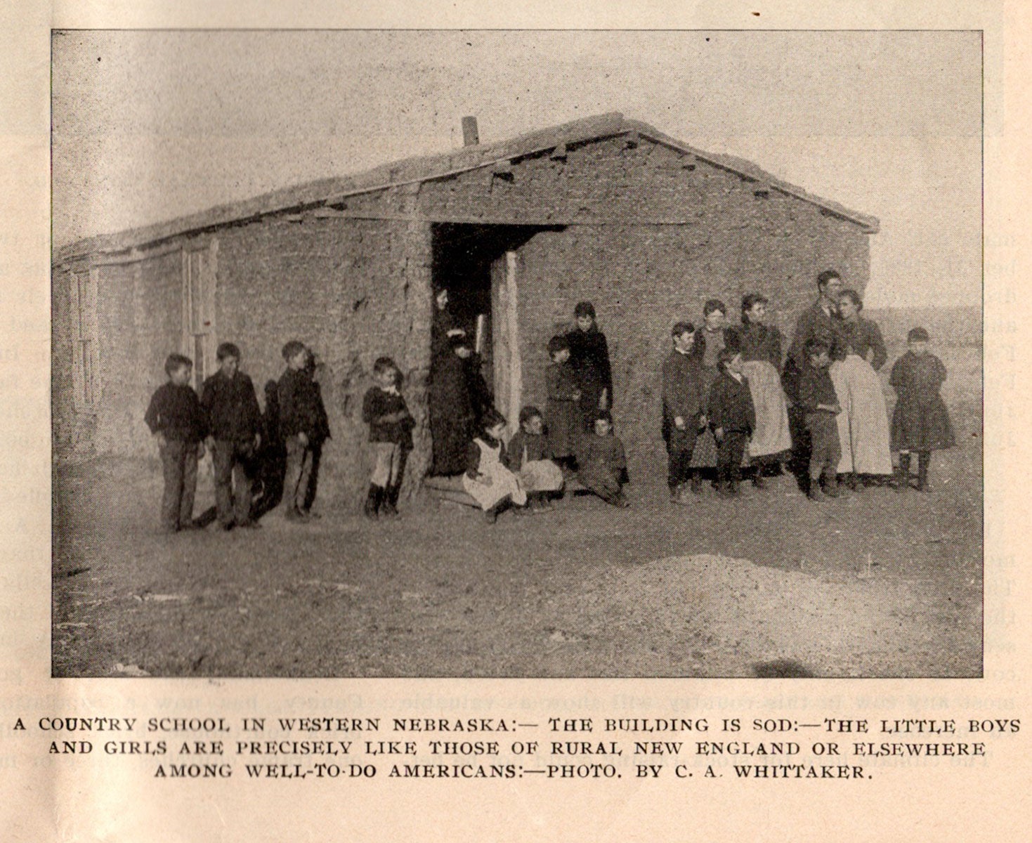
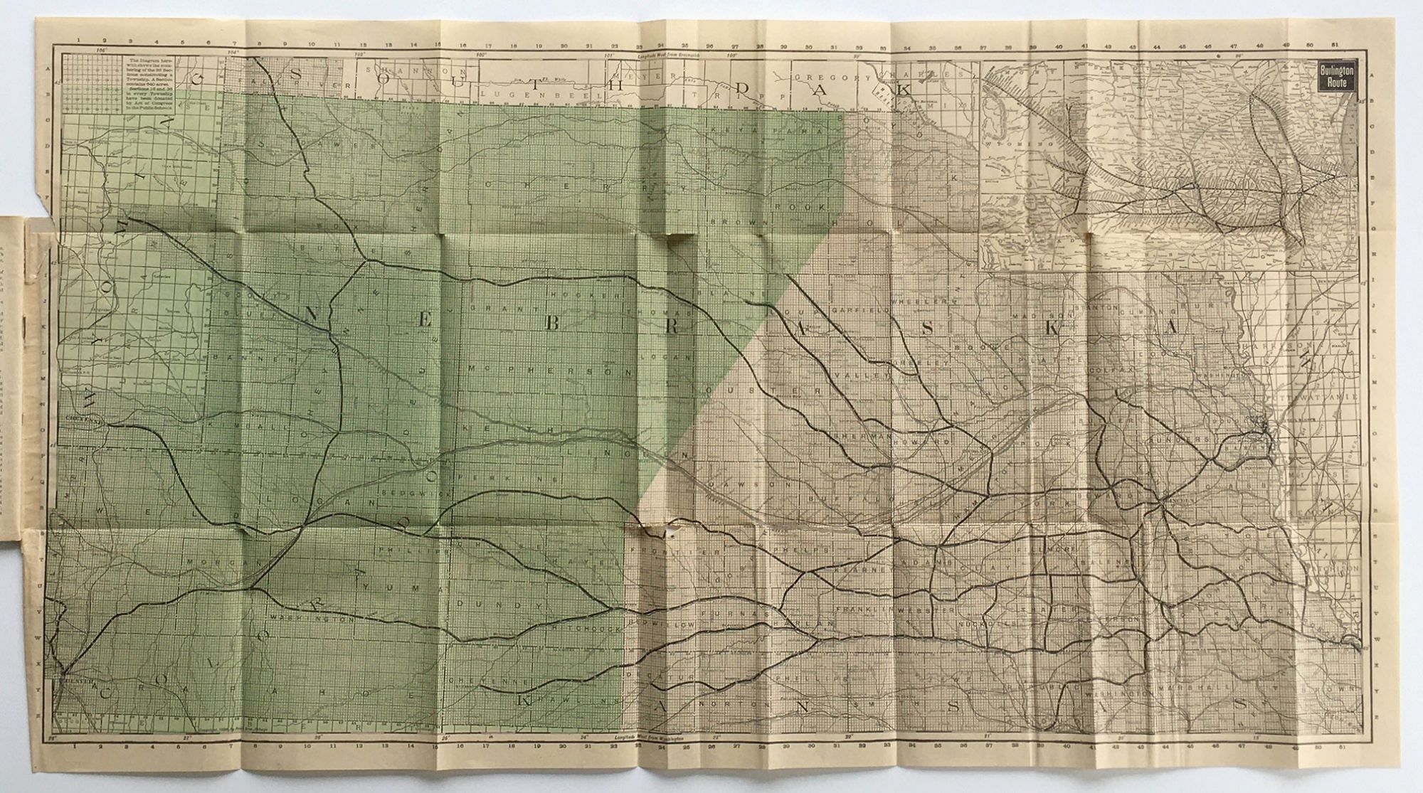
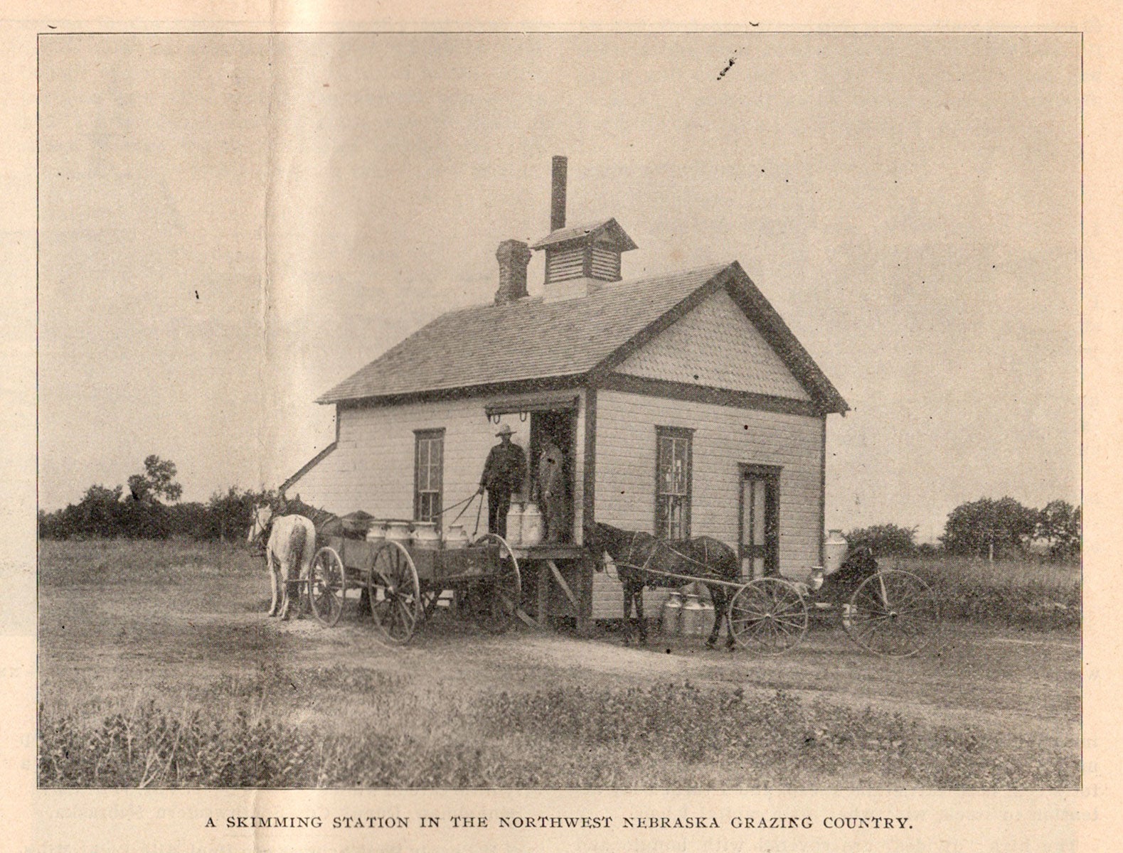
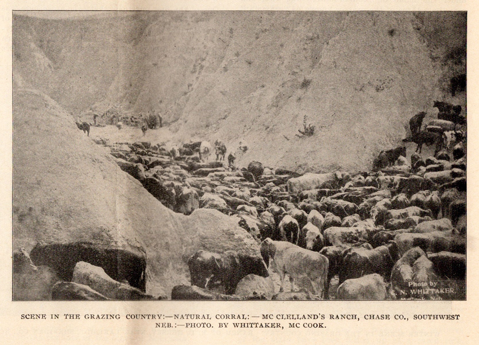
Omaha: Burlington Route, [ca. 1899]. Oblong 12mo (7.5” x 10.5”), pictorial printed tan wrappers, folded in half apparently as issued. 32 pp., numerous illus. from photos, 18” x 32” folding map printed in back and green. A scarce and quite interesting promotional booklet touting the cattle grazing country of West Nebraska, featuring numerous lengthy testimonials from cattlemen of the region and a large folding map. The western half of Nebraska is here promoted as “the great grazing country of the United States” as distinct from the lands of eastern Nebraska, which are superior for the raising of grain and general farming. The text blends editorial commentary with testimonials, covering such topics as soil, grasses, climate, sod houses, stock-raising, dairy farming, land-prices (ranging from $2.50 to $4.00 an acre), livestock data, and so forth. The illustrations feature cattle businesses, farmers, ranches, livestock, corn-cribs, a country school with school children, a herd fording a river, a skimming station, the cutting of “cane hay,” an alfalfa harvest, hay camps and workers, a sod house, scenes of corn planting, a group of school children with their teacher, a “summer on a stock farm,” etc. Most of the illustrations picture Nebraska subjects, but a few are from photos taken in Colorado, Wyoming, Idaho, and Montana. The folding map, printed by the Poole Bros. of Chicago and dated 1896, extends from Council Bluffs, Iowa in the east to Cheyenne, Wyoming, and Denver, Colorado in the west and from the southern edge of South Dakota to the northern edge of Kansas. The grazing lands, which extend into southeastern Wyoming and northeastern Colorado, are colored green. A 5” x 9” inset map depicts the Burlington Route rail network in the region. Worldcat records just four copies, at Buffalo and Erie County Public Library, Yale, Univ. of Oklahoma, and Univ. Commerciale Luigi Bocconi. The circa date of 1899 is taken from a caption for one of the illustrations. A scarce western Nebraska grazing lands promotional. CONDITION: Text block separated from wrappers, wear at wrapper extremities, folding map with 6” tear into left side, a few small separations at folds.
Item #6670
Sold