
Sign up to receive email notices of recent acquisitions.
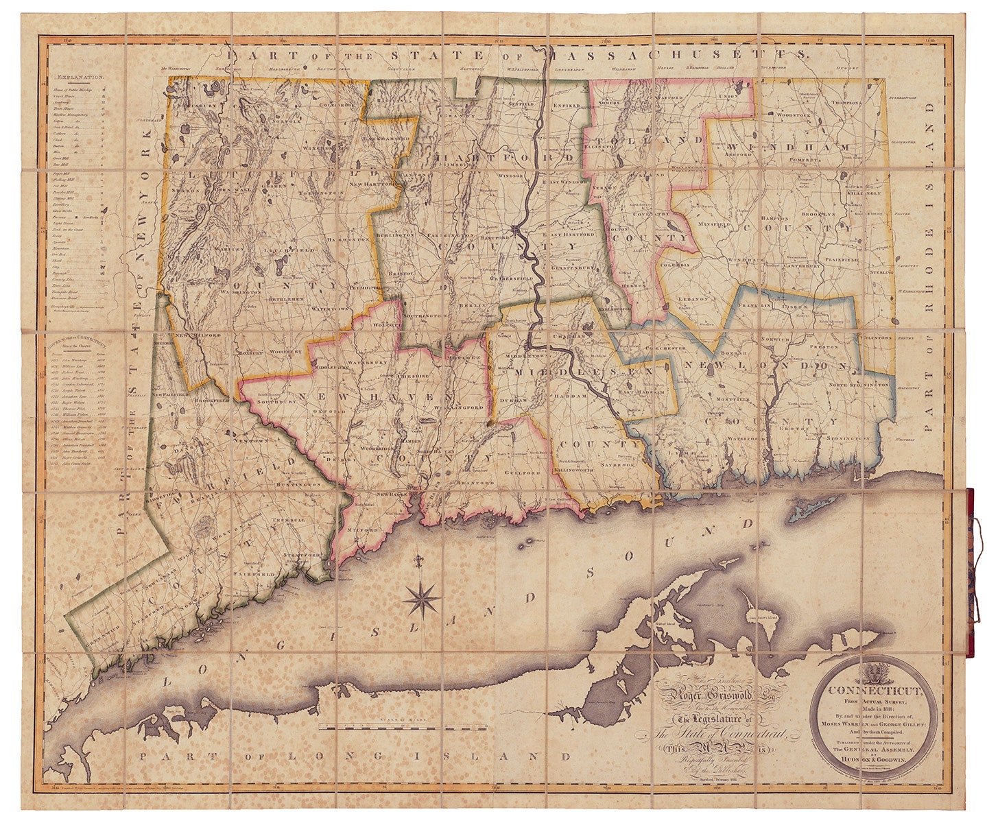
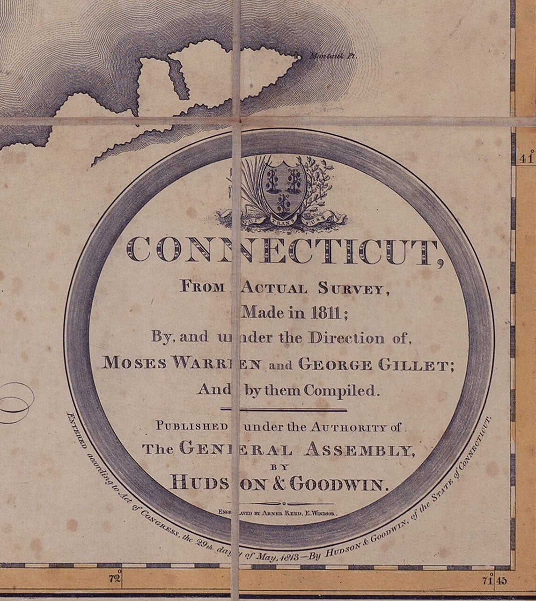
Connecticut, From Actual Survey, Made in 1811; By and under the Direction of, Moses Warren and George Gillet; And by them Compiled.
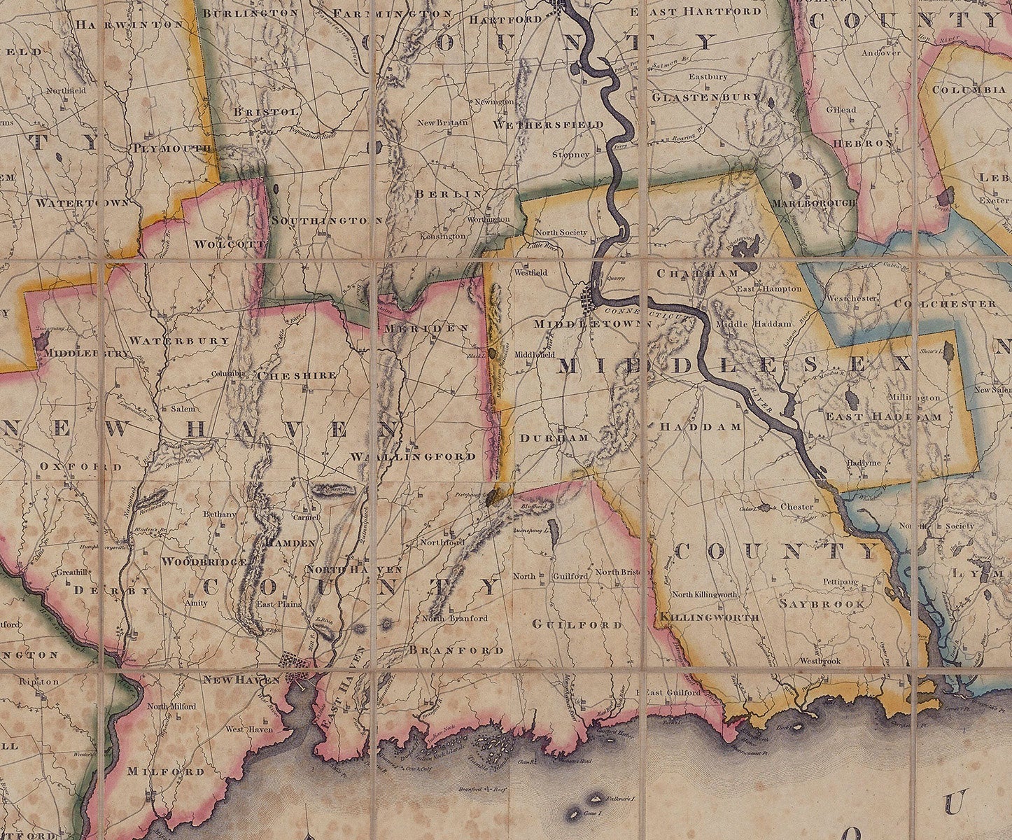
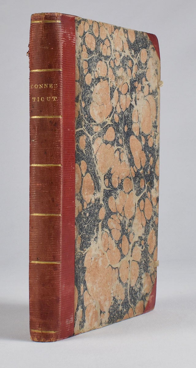
Hartford: Published under the Authority of The General Assembly, By Hudson & Goodwin, 1812 [or 1813]. Engraved By Abner Reed, E. Windsor. Hand-colored engraving, 36.5” x 44.25” plus margins, dissected and mounted on linen, folding into original 8vo covers, half red leather and marbled paper boards, gilt title “Connecticut” and gilt rules at spine. CONDITION: Good, spotting mainly in the lower left quadrant, which seems to be endemic to case map examples, as evident in copies at Harvard and the Library of Congress, which can be viewed online. The first state of this scarce, important, and very fine map of Connecticut, offered here in desirable case map form, with beautiful original color. This large and impressive map depicts the entire state of Connecticut, as well as narrow portions of adjacent states, the whole of Long Island Sound, and part of Long Island. A circular cartouche incorporating the Connecticut coat-of-arms appears in the lower right corner along with a fine calligraphic dedication to Governor Roger Griswold. A handsome compass rose with a fleur-de-lis directional is situated in Long Island Sound near New Haven. A key in the upper left margin identifies some thirty-five points of interest, including churches, academies, court houses, gun & pistol factories, paper mills, distilleries, glass works, ore beds, light houses, etc. The last item listed is “Humphrysville - The first extensive successful woolen mill in the country.” According to Thompson, there is an apparently later state of the map in which this note had been transferred to the site of present day Seymour. Also noted by Thompson are the turnpike roads, a recent development and apparently the first to appear on an American map. Warren & Gillett undertook the first survey of the state since William Blodget’s map of 1792, carrying out much of the field work themselves, but also, as Ristow points out, likely incorporating manuscript maps from local surveyors as well as other locally provided data. “Though the publication of this map was a private venture, the survey had an official sanction. At the May session, 1811, of the Connecticut legislature a resolution was passed authorizing Hudson & Goodwin ‘at their own expense to prepare and publish from actual survey a map of this state, and for that purpose the petitioners are authorised…to pass over the land of individuals in the state…and empowered to examine the records of the state’” (Thompson). As the authoritative map of the state, the Warren & Gillet map served as the prototype for other maps of Connecticut into the 1840s. Although cataloged by Thompson and others as 1812, the date of publication of this map is somewhat unclear. The inscription to Governor Griswold reads in part “Respectfully Inscribed By the Publishers. Hartford, February 1812,” but the copyright date is 1813. Also, the last governor listed is John Cotton Smith, who succeeded Griswold in 1813. Moses Warren (1762–1835) was born in Hopkinton, Rhode Island, but soon moved with his family to East Lyme, Connecticut. He served as a sergeant in the Revolutionary War, and surveyed the Western Reserve in 1796. Warren’s partner, George Gillet (1771–1853) was born in Hebron, Connecticut. He was appointed surveyor general of Connecticut following publication of this map. A splendid, early map of Connecticut. REFERENCES: Thompson, Maps of Connecticut, 52; Ristow, American Maps & Mapmakers, pp. 96–98.
Item #3387
Price: $12,000.00
Add to Wish List