

Sign up to receive email notices of recent acquisitions.
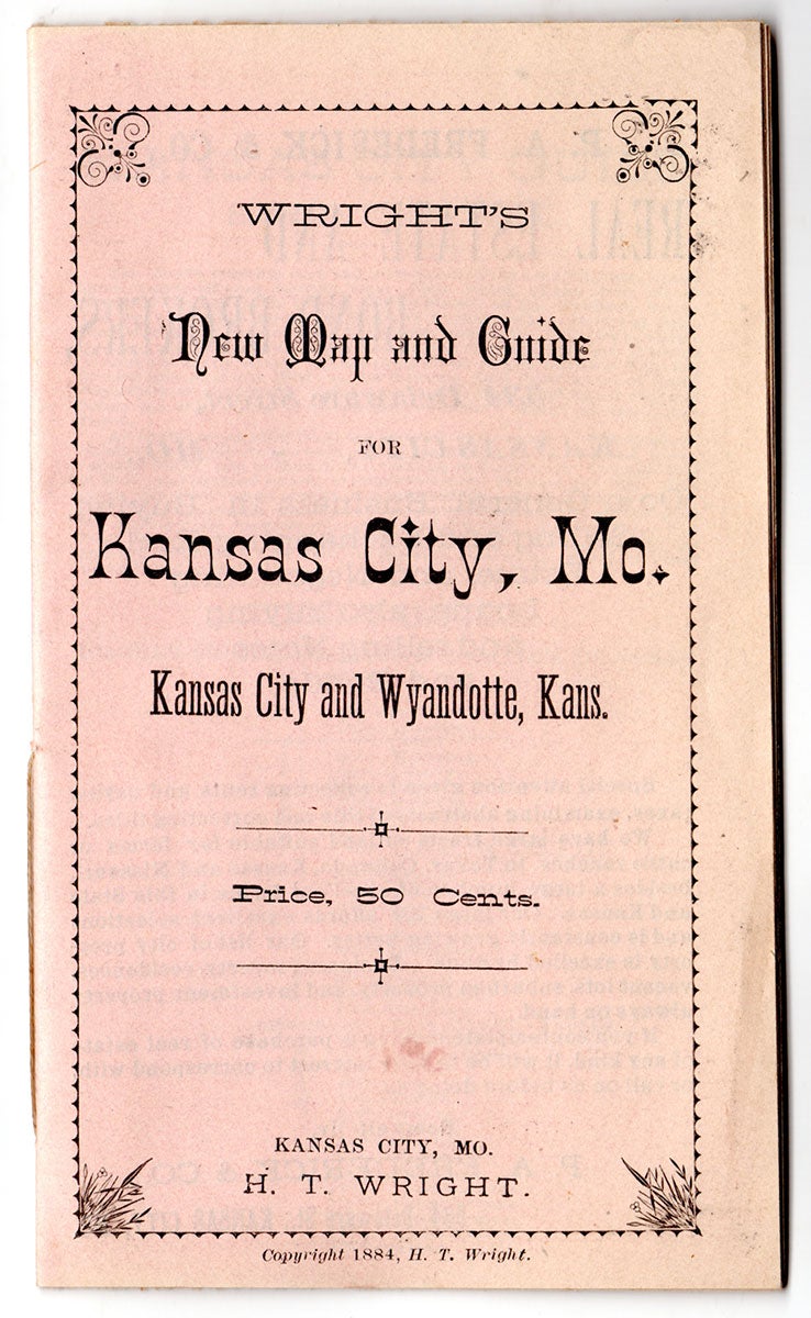
Wright’s New Map and Guide for Kansas City, Mo. Kansas City and Wyandotte, Kans.
Kansas City, Missouri: H. T. Wright, 1884. 12mo (14.5 x 8.5 cm) pocket map and guide, printed stiff pink wrappers. Hand-colored folding map (49.5 x 59.5 cm plus margins); inserted guide, [23 pp.], illus. CONDITION: Map good, one tiny tear at upper-left corner; insert good, mildly worn. A scarce pocket map of Kansas City accompanied by an inserted guidebook, providing much information on the development and potential of this important midwestern commercial hub in the 1880s. The map provides a comprehensive view of the city, situated at the confluence of the Missouri River and the Kansas River, depicting streets, railroads, municipal buildings, companies, city hall, and other features. Numerous landowners are identified and many sections of city land are labeled “additions” (e.g., Rice’s Addition), reflecting relatively recent development. Text appears to the right of the title: “After a careful examination we find this map to be correct. O’Flaherty & Hollelman, civil engineers, A. A. Holmes. asst. civil engineer.” The guide features a three page historical sketch noting that “The earliest historical mention made of the present site of Kansas City is found in the memoirs of Daniel Boone, Jr., who reached the ‘great bend’ of the Missouri River as early as the close of the last century.” Also included is a guide to the street system, a business directory, an ad for the stock yards, and various plugs by Kansas City bookseller H. T. Wright, who advertises architectural books, “books for the household,” as well as “New standard maps! The latest and most complete maps published.” These include the map offered here as well as maps of Iowa, Texas, Oregon, the Northwestern states, etc. A single full-page wood-engraving depicts the Kansas City Custom House and post office. OCLC records several copies each of editions dated 1882, 1884, and 1886.
Item #5268
Price: $750.00
Add to Wish List