
Sign up to receive email notices of recent acquisitions.
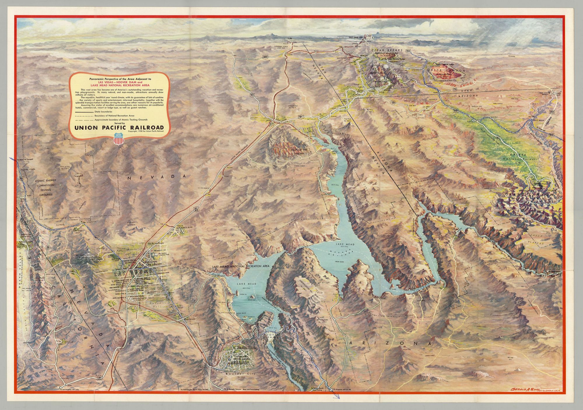
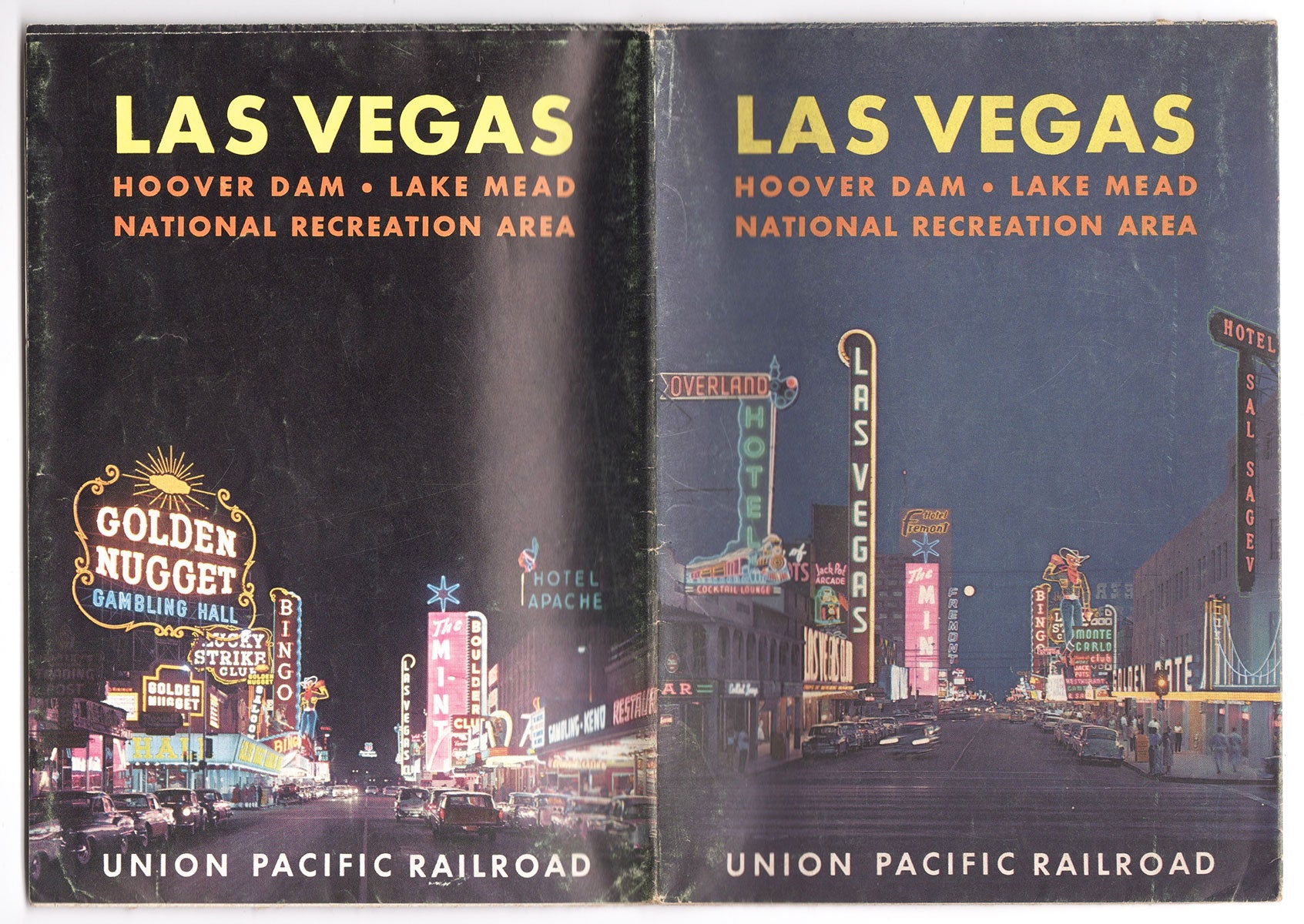
Panoramic Perspective of the Area Adjacent to Las Vegas—Hoover Dam, Lake Mead National Recreation Area; Las Vegas—Hoover Dam, Lake Mead National Recreation Area.
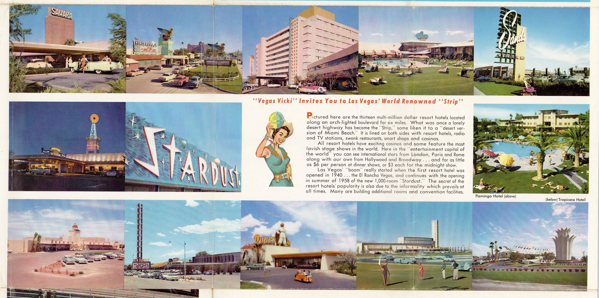
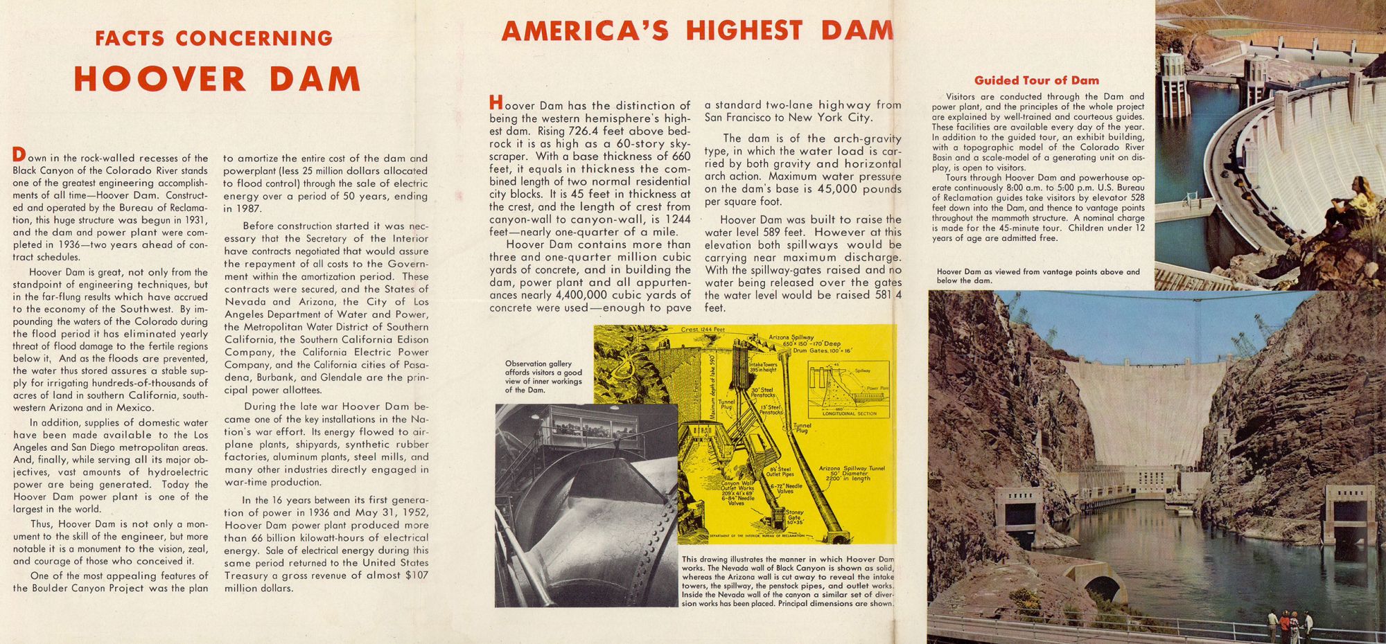
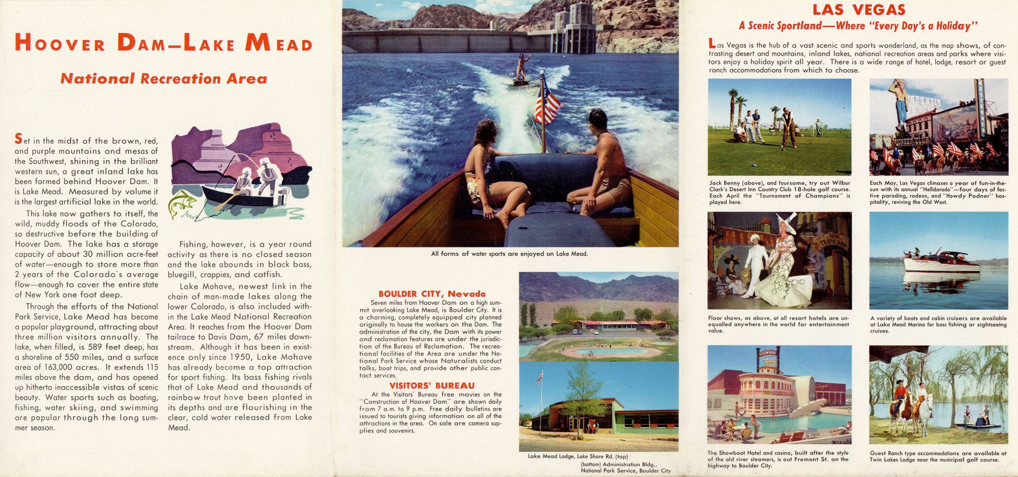
Glendale, CA: Gerald A. Eddy; Union Pacific Railroad, 1958. Folding color process map, 22” x 31”, 18 panels of illus. and text on verso, folded size 7.5” x 5.25”. A striking post-WWII panoramic map of the Southwest including portions of Nevada and Arizona, as well as California’s Death Valley and Utah’s Zion, Bryce and Cedar Breaks areas, depicting the vast region accessible via the Union Pacific Railroad, including its mountains, cliffs, washes, plateaus, mines, Hoover and other dams, Nellis Air Force Base, the Atomic Energy Commission testing grounds, Indian reservations, Valley of Fire state park, numerous national parks, forests, and monuments, the Colorado River supplying Lake Mead, and Boulder City and Las Vegas with street grids showing hotel locations. The map ranges from the Grand Canyon in the East to Death Valley and the Yucca Flats in the West; and from Boulder City in the south to Salt Lake City in the North. The Union Pacific Railroad lines are delineated in red; elevations are indicated for mountains and terrain within state and national parks; and bodies of water show depths and state boundaries. Promotional text and colorful illustrations of Las Vegas appear on the verso. An engineering marvel, Hoover Dam and Lake Mead became a tourist attraction during the post-war boom. The project opened up the west for development, providing water from the once-wild Colorado River to the arid Southwest, leading to the expansion of such major cities as Los Angeles, Las Vegas and Phoenix, as well as the growth of railroad lines, national recreational areas, and military installations. CONDITION: Good, blue ink routes discreetly traced on Rt. 95 and Rt 89.
Item #6276
Price: $295.00
Add to Wish List